Old Ordnance Survey Maps of Surrey

  • These detailed maps normally cover an area of about one and a half miles by one mile. Each map includes an introduction.
  • They are available through our On-line Mapshop

  • Here are the details of maps for Egham:

  • Surrey Sheet 5.09 Egham 1912 - published 2023; intro by Pamela Taylor. ISBN.978-1-78721-694-5

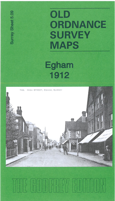
    This map gives good detailed coverage of the town of Egham.

    Features include the town centre with individual buildings neatly shown, railway with station, Egham Park, St John's church, Glanty, Pooley Green, Sutherland House, Moore Grove Nurseries, Thorpe Lee, Thorpe Lee Farm, Wood Haw etc.

    On the reverse is a specially written introduction to the history of the area together with a 1903 Commercial Directory of Egham.

    The map links up with Bucks sheet 58.08 Staines.


  • Follow this link for a complete list of our Surrey maps, here for Croydon, or here for the London Boroughs.
  • You can order maps direct from our On-line Mapshop. For other information and Prices, see Index Page.
  • Most maps in the Godfrey Edition are taken from the 25 inch to the mile map and reduced to about 15 inches to the mile.
    The Godfrey Edition / sales@alangodfreymaps.co.uk / 7 February 2024