 Here are the details of maps for Yeovil:

We have We have published two maps for Yeovil. They link up with each other to provide ecellent coverage of the town.
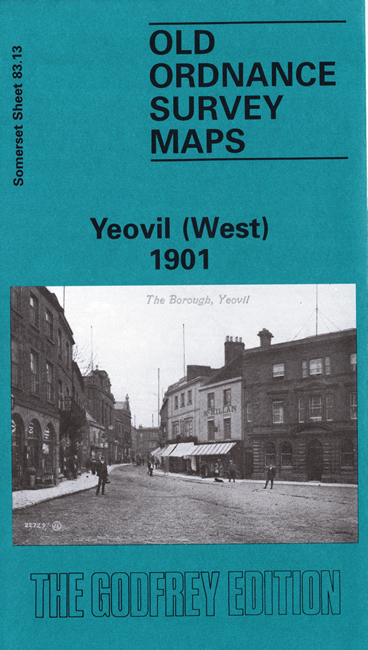
The Yeovil West map covers most of the town centre, with coverage westward to Preston Plucknett. Features include Preston Abbey remains, Summerlands, Yeovil Union Workhouse, Christ Church, St John's church, Hollands, cemetery, Kingston School, High Street, and most of town centre shown in detail.
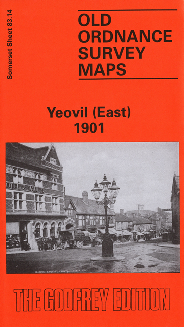
The Yeovil East map covers the area to the east including Pen Mill, Pen Mill station, Yeovil Town station, New Town, St Michael & All Angels church, Over Compton Mill, Little Lyde, Yeovil Bridge, Babylon Hill etc