Old Ordnance Survey Maps of Bath


We have published more than 2,000 maps in our series of Old Ordnance Survey Map reprints, including a group in Somerset. The maps are highly detailed. They are taken from the OS 1:2,500 (or 25 inch) maps and reduced to about 15 inches to the mile. Each covers an area of a mile and a half by a mile. They show streets with individual houses, tram tracks, railway tracks and even signals, factories, wharves and such details as fountains and water troughs. They will provide hours of fascination for historians and genealogists. The maps are neatly folded and each includes a specially written introduction to the area. Maps can be purchased on our On-line Mapshop where further information about titles is given. Or visit The Index Page for a full list to the series and details of Prices.


Here are the details of maps for Bath:
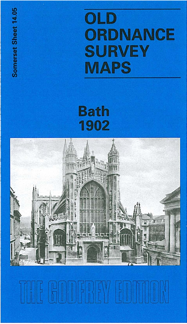
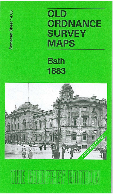
  • Somerset Sheet 14.04 Bath 1902 - published 1995; introduction by Alan Godfrey

    This map gives detailed coverage of the historic city of Bath; coverage stretches from The Circus southward to Bloomfield Avenue, and from Twerton Cemetery eastward to Archway Street, Dolemeads. The many features include East Twerton, Locksbrook, South Twerton, several cemeteries, Somerset Certified Industrial Home, Green Park station with railway approaches, Crescent Gardens, River Avon, Bath Spa station, Beechen Cliff, Abbey church, Henrietta Park, Queen Square. The Royal Crescent is split by the top margin. The city centre is shown in great detail with individual buildings neatly delineated. On the reverse we include extracts from a street directory, including Broad Street, Brock Street, Charles Street, Circus, Gay Street, Green Park and James Street West


    Follow this link for a complete list of our Somerset Series maps.

    You can order maps direct from our On-line Mapshop. For other information and prices, and other areas, go to The Index Page.


    Maps in the Godfrey Edition are taken from the 25 inch to the mile map and reduced to about 15 inches to the mile. For a full list of maps for England, return to the England page.

    Alan Godfrey Maps, Prospect Business Park, Leadgate, Consett, Co Durham, DH8 7PW / godfreyedition@btinternet.com / 25 July 2007