We have published more than 1,800 maps in our series of Old Ordnance Survey Map reprints, some 300 of them in the London area. The maps are highly detailed. They are taken from the OS 1:2,500 (or 25 inch) maps and reduced to about 15 inches to the mile. They show streets with individual houses, tram tracks, railway tracks and even signals, factories, wharves and such details as fountains and water troughs. They will provide hours of fascination for historians and genealogists. The maps are neatly folded and each includes a specially written introduction to the area. Maps can be purchased on our On-line Mapshop where further information about titles is given.
For a full list of maps for London, go to the London page. Or go to The Index Page for a guide to our whole series and Prices.
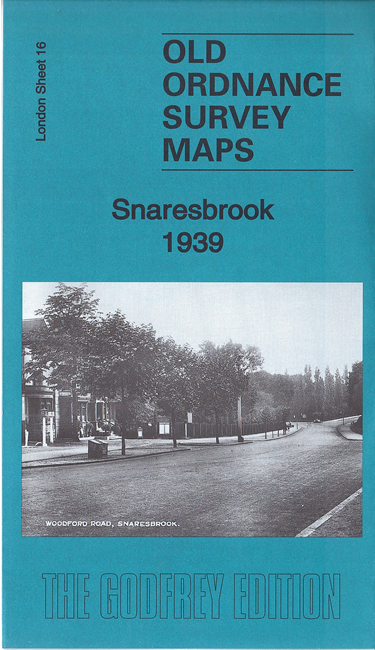
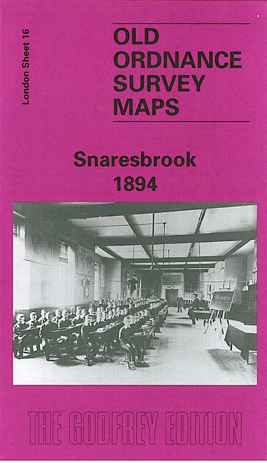
Here are the details of maps for Snaresbrook:
At present we have just one map for this area of Snaresbrook. It covers the area from Snaresbrook station northward to George Lane station, from Woodford Road eastward to Roding Lane and St Swithins. Features include the Infant Orphan Asylum, a stretch of the GER (now Central Line) railway, Merchants Seamen's Orphan Asylumn, Holy Trinity church, Nightingale Place, River Roding, Eagle Pond, Hermon Hill, Wanstead Hall, and south Woodford around George Lane and Maybank Road. A directory for Snaresbrook and commercial directory for Woodford are also included.
An index map showing the areas covered by this and adjacent maps is available here. The map links up with Sheets 15 Walthamstow East to the west, 24 Wanstead to the south, and with Essex Sheet 78.02 Woodford to the north.
Follow this link for a complete list of our London maps .
You can order maps direct from our On-line Mapshop. For other information and Prices, see Index Page.
Maps in the Godfrey Edition are taken from the 25 inch to the mile map and reduced to about 15 inches to the mile. For a full list of maps for London, return to the London page.
The Godfrey Edition / godfreyedition@btinternet.com / 28 December 2007