
 Here are the details of maps for Poole:


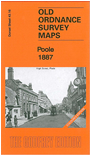
We have published two versions of this detailed map, showing how the area changed across the years. The 1887 version is in full colour, taken from the beautiful handcoloured 1st Edition OS map.
Our maps capture the historic old centre, spread out around High Street, Market Street, Hunger Hill and West Street, with all its crowded buildings (all shown individually, of course, on this detailed map). Features include the railway station (near the top of the map), the tramway running round to The Quay, Poole Pottery, Custom House, landing stages, timber yards, Poole Brewery, malthouses, Fish Shambles, St James's church, Cornelia Hospital, Dolphin Brewery, and numerous narrow alleyways. Across Poole Bridge is Lower Hamworthy, and here we have the Battery, Hamworthy station and lines to the wharves, Ultramarine Manufactory, Architectural Pottery. St Michael's church is in the top left corner.
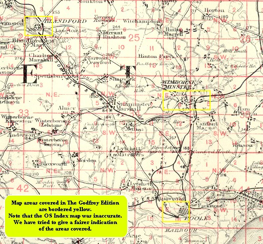
You might find this index map useful.