
 Here are the details of maps for Norwich:

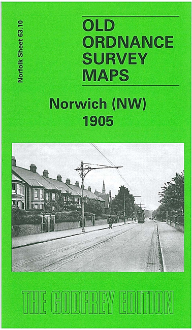
We have published a set of maps for Norwich, covering the city in detail. For the two principal maps we have published two versions, showing how the area developed across the years. The maps link up with each other; here are brief details of each:
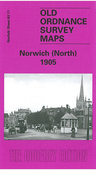
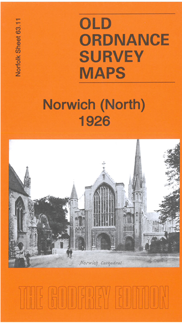
Norwich (North) covers a very busy area, stretching from Heigham Road and Palace Road eastward to Gas Hill and Thorpe Hamlet, and from Eade Road and Branford Road southward to the Market Place. The many features include the Cathedral, City station, site of Castle, River Wensum, tramways, St Giles church, Pottergate Street and much of the city centre.
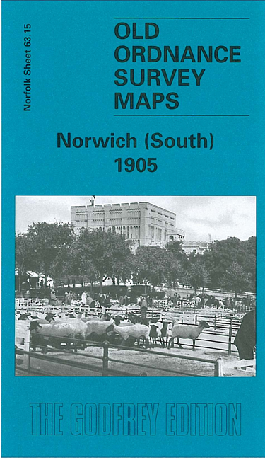
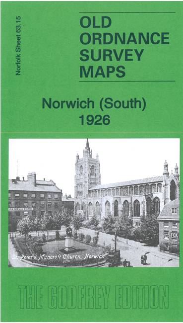
Norwich (South) continues coverage southward to Cecil Road and features on this include Thorpe station, engine works, Victoria station, Carrow Works, Chapelfield Gardens, Norfolk & Norwich Hospital, tramways, Ber Street, Queens Road, St Peter's church, St Stephen's church, cattle market, New Lakenham, Peafield, Mancroft Ward, King St Old Brewery, Carrow Abbey.