 Here are the details of maps for Maidenhead & Taplow:

We have published two detailed maps of Maidenhead. These link up with each other to provide good coverage of the town.
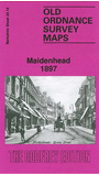
The map simply called Maidenhead covers the centre of the town, and an area stretching from Punt Hill and Courthouse Lane eastward to Bridge Street, and from the railway station northward to Cordwalles College and Northtown House. Features include the High Street, Queen Street, Market Street, St Luke's church, Chapel Arches, Eaststreet Cottages, Grenfell Park, Castle Hill, Bath Road, Boyn Hill, All Saints church, All Saints Avenue, workhouse, smallpox hospital, cemetery, Belmont House, Craufurd College, Northtown Cottage, St Ives Place, Kidwells Park.
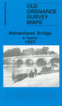
The Maidenhead Bridge map covers the east of the town, and an area eastward to Taplow. Coverage stretches from Bridge Road eastward to Taplow station, and northward to Taplow Court. Taplow village, with St Nicholas church, Taplowhill House, Taplow Paper Works and Queens Head Hotel, is at the top of the map. The River Thames runs north-south through the map. Beside it are Oldfield Lodge, Orkney Arms Hotel, Thames Hotel, Bridge House, numerous boat houses, Grosvenor House, Raymead Hotel and other buildings. Large houses stand on Ray Park Avenue, part of the Ray Park Estate. Directories of Maidenhead and Taplow are on the reverse.
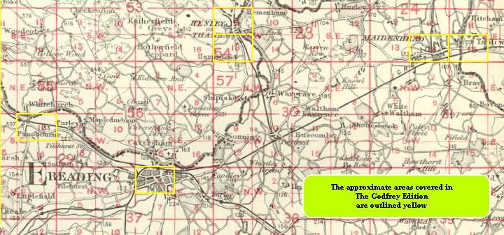
You might find this index map useful.