
 Here are the details of the map for Walworth and Newington area:

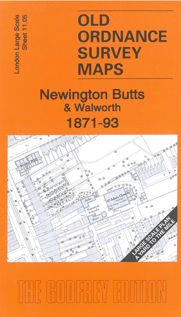
This very detailed map covers Newington Butts and part of Walworth. It is double-sided, with the 1871 map on one side and a reduced version of the 1894 map on the area. We also include an introduction to the history of the area.
Features (from 1871 map) include Lambeth Workhouse, Newington Butts, St Mary's Church, part of Surrey Gardens, Surrey Tabernacle, St John's Church, Vestry Hall, Walworth Road, tramway, synagogue, Independent Chapel, Falcon Works, chapels, etc
The map links up with sheets 7.95 Elephant & Castle to the north, 11.04 North Kennington to the west, 11.06 Bricklayers Arms Station to the east.