
 Here are the details of maps for Glasgow (E) & Carntyne:

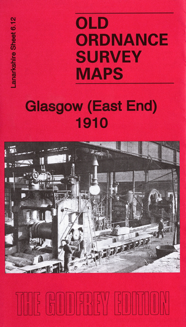
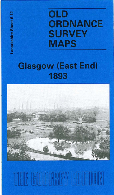
We have published two versions of this map, showing how the area changed across the years.
This detailed map covers the eastern part of Glasgow, with coverage stretching from Gallowgate and East Nelson Street eastward to Carntyne station, and northward to Alexandra Park. Features include Camlachie Goods station, Camlachie Burn, Parkhead Forge Steel Works, Glenpark Tan Works, Vinegarhill, Dennistoun Bakery, Duke Street station, Parkhead Junction with engine shed, Carntyne Iron Works, Burnbank Bleach Dye Works, Haghill House, Carntyne Hall, Gartcraig House. We include extracts from early street directories on the reverse.
You might find this index map useful. The map links up with Sheets 6.08 Glasgow NE to the north, 6.11 Glasgow High St to the west, 6.16 Parkhead to the south.