


 Here are the details of maps for Boston:


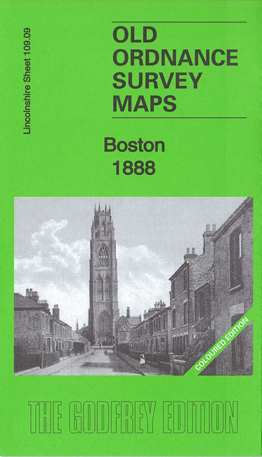
We have published two versions of the central map, sheet 109.09 map, showing how the area changed across the years. The 1888 version is in full colour, taken from the beautiful 1st Edition OS handcoloured map. These link up with sheet 109.13, which covers the south of the town, including the docks.
Sheet 109.09 covers most of the town of Boston in detail, with coverage stretching from Liquorpond Street northward to Hospital Bridge Lane, and eastward to Tower Road. Major features include The Haven, station, West Street, Wide Bargate, Market Place, St Botolph's church, Allan House, River Witham, Maud Foster Drain, Bargate Bridge, Maud Foster Mills, Rout Green Brewery, GNR Workshops, and the many narrow lanes and alleys that cluster in the town centre.
Sheet 109.13 covers the south of the town, with features including Skirbeck Quarter, The Haven, Goods station, Boston Dock, dock railways, St Thomas church, South Forty Foot Drain, railways, oil mills, etc.