

 Here are the details of maps for Lincoln:

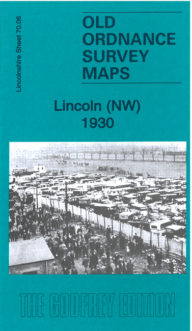
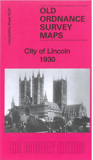
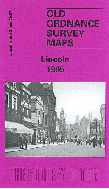
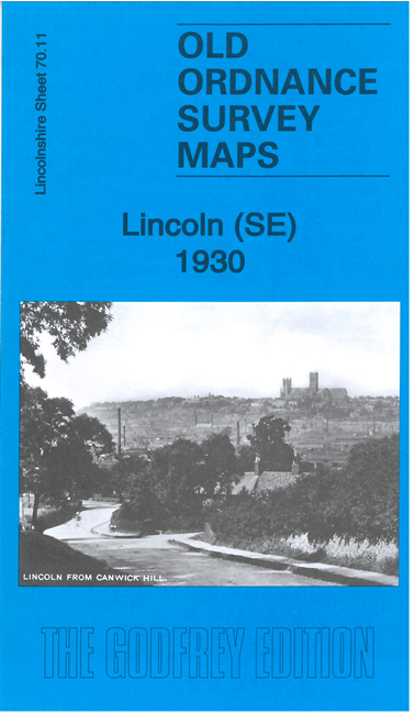
We have published two versions of the main 'City' map, showing how the area changed across the years. The NW, SW and SE maps link up with this to form a group for the city.
Sheet 70.07 covers much of the great cathedral city of Lincoln. Coverage includes the centre of the city as far west as The Avenue, and from Kesteven Street northward to Cecil Street and Church Lane. Principal features include the Cathedral, Castle, Assize Court, The Lawn, Broadgate, St Swithin's church, Arboretum, County Hospital, Cattle Market, River Witham, Broadgate, Old Palace, Oil Cake Mills, Great Northern station, Midland station, Brayford, High Street and much more.
Sheet 70.06 covers the NW area of the city, including part of the racecourse, Pyewipe Junction, New Boultham, several railway junctions, Foss Dike Navigation, and the area around Carholme Road.
Sheet 70.10 covers the SW area of the city, including Boultham Hall, Boultham, Wellington Iron Foundry, Boultham Works, a long stretch of the River Witham, Swanpool Garden Suburb.
Sheet 70.11 covers the SE area of the city, including Canwick, Canwick Hall and Canwick Park. Other features include the Globe Engineering Works, Cow Paddle, Malandry Closes, St Botolph's church, football ground, Sheaf Wood Works, and a long stretch of High Street and St Catherines.