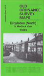
 Here are the details of maps for Droylsden:
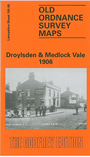

We have published two versions of this map, showing how the area changed across the years. Each covers the northern part of Droylsden, NE of Manchester; coverage stretches from Baguley Street Droylsden northward to Medlock Vale.
Features include Droylsden station, Bee Hive Works, Albion Mill, Oakfield Mill, Daub Hole, Royal Mill, Droylsden cemetery, Lumb Farm, Lumb Mill, Cinderland Hall, Greenside, Clayton Bridge Dyeing Works (at left margin), Medlock Vale Works etc.
The map links up with Lancashire Sheets 104.08 Clayton to the west, 105.06 Ashton under Lyne to the east, 105.09Audenshaw to the south.