
 Here are the details of maps for Maghull (S):

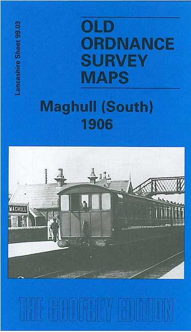
This detailed map covers an area that was then largely rural, including the southern part of Maghull. Part of the village is in the top right quarter of the map, including Maghull station, Great Mogul Hotel, Kensington Farm, Kennessee Green, Maghull Hall, St George's RC church, Leeds & Liverpool Canal. Coverage extends westward to Old Race Course Farm, Broadwood House, Wood End Farm, Brook House Farm (lower left corner) and a stretch of the Cheshire Lines Railway with Sefton & Maghull station. On the reverse we include directories of Maghull in 1905 and 1918, plus a section of James Sherriff's map of the area in 1823.
This map links up with sheet 99.02 Sefton Village to the west and 91.15 Maghull North to the north.