 Here are the details of maps for central Bolton:


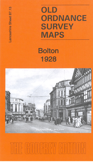
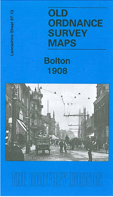
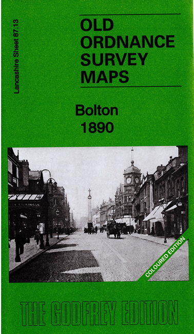
We have published three versions of this map, showing how the area changed across the years. The 1890 version is in full colour, taken from the beautiful 1st Edition OS handcoloured map.
The maps cover most of Bolton Town Centre, with coverage stretching from Dobson Road eastward to Dorset Street, and from Clarence Street southward to Burnaby Street and Lumsden Street. The many features include tramways, Town Hall, Market Hall, Trinity Street station, Great Moor Street station, Deansgate Goods station, Crook Street goods station (all with detail and track layouts), Moor Mills, Bridgeman Street Goods Warehouse, Soho Iron Works, Albion Mills, Lecturers Closes, Mather Street Mill, Flash Street Mills, Bolton Steel Works, Victoria Foundry, St Helena Mill, St Peter's church, Holy Trinity church, Rose Hill Colliery, Springfield, Haulgh Hall, canal, Craddock Lane Sidings, River Croal, Atlas Forge, Derby Street Mills, Stanley Mills, The Saviour's church, Croal Mill, Gilnow Mill, Queen's Park, Bolton Infirmary, St George's church (Little Bolton), and much more.
The map links up with Lancashire Sheets 87.09 Bolton North to the north, 86.16 Bolton West to the west, 95.01 Bolton South to the south, 87.14 Bolton East to the east.