We have published more than 2,100 maps in our series of Old Ordnance Survey Map reprints, including a large group in Lancashire. The maps are highly detailed. They are taken from the OS 1:2,500 (or 25 inch) maps and reduced to about 15 inches to the mile. Each covers an area of a mile and a half by a mile. They show streets with individual houses, tram tracks, railway tracks and even signals, factories, wharves and such details as fountains and water troughs. They will provide hours of fascination for historians and genealogists. The maps are neatly folded and each includes a specially written introduction to the area.
Maps can be purchased on our On-line Mapshop where further information about titles is given. Or visit The Index Page for a full list to the series and details of Prices.
Here are the details of maps for Birkdale:
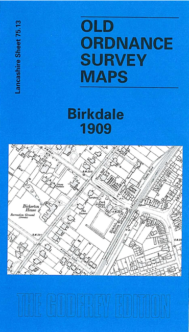
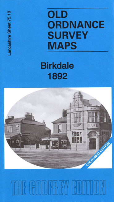
This detailed map covers the southern part of Southport, and Birkdale. Coverage extends from Stanley Avenue northward to Westcliffe Road, and from Warwick Street westward to the shore. This is mainly a residential map with many streets of housing, but other features include the Cheshire Lines Railway with Palace station, LYR railway with Birkdale station, Smedley Hydropathic, Bickerton House, livery stables, tramways, Victoria Brewery, Terra Nova, Palace Hotel, convent etc. We include a good selection of street directory entries on the reverse.
The map links up with Lancashire Sheets 75.09 Central Southport to the north.
Follow this link for a complete list of our Southport & West Lancs maps.
You can order maps direct from our On-line Mapshop. For other information and prices, and other areas, go to The Index Page.
Maps in the Godfrey Edition are taken from the 25 inch to the mile map and reduced to about 15 inches to the mile. For a full list of maps for the North West, return to the North West page.
The Godfrey Edition / godfreyedition@btinternet.com / 19 January 2008