Old Ordnance Survey Maps of Southport E


We have published more than 2,100 maps in our series of Old Ordnance Survey Map reprints, including a large group in Lancashire. The maps are highly detailed. They are taken from the OS 1:2,500 (or 25 inch) maps and reduced to about 15 inches to the mile. Each covers an area of a mile and a half by a mile. They show streets with individual houses, tram tracks, railway tracks and even signals, factories, wharves and such details as fountains and water troughs. They will provide hours of fascination for historians and genealogists. The maps are neatly folded and each includes a specially written introduction to the area.

Maps can be purchased on our On-line Mapshop where further information about titles is given. Or visit The Index Page for a full list to the series and details of Prices.


Here are the details of maps for Southport East:
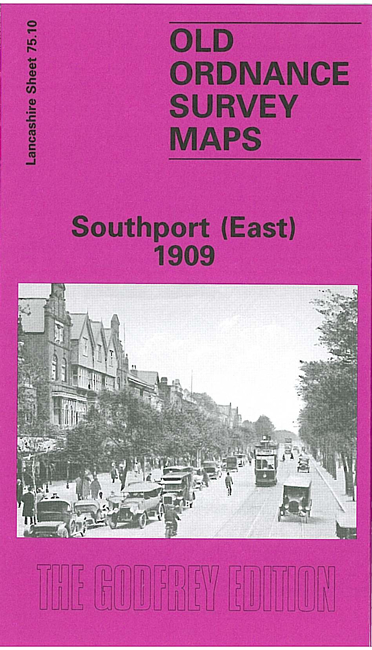
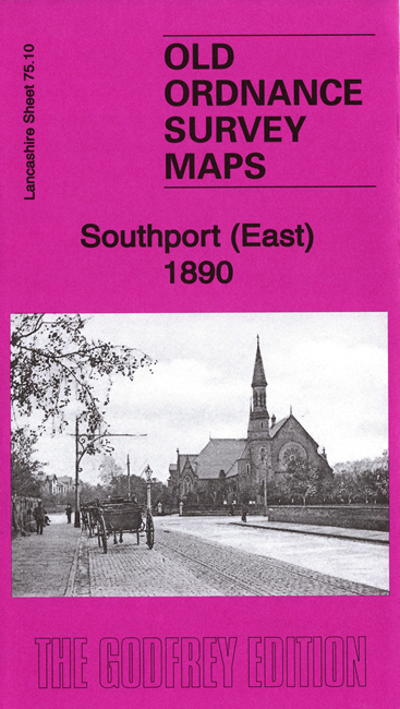
  • Lancashire Sheet 75.10 Southport (East) 1909 - published 1995; intro by Nick Burton

    This detailed map covers the eastern part of Southport, with coverage extending from Scarisbrick Street eastward to High Park Road, and from Rawlinson Road southward to Forest Road. Features include the approaches to Chapel Street station, with engine shed and goods station, St Luke's station, Central station, Meols Cop station (part of Hesketh Park station is at top of map); other features include All Soul's church, Health Depot, High Park area, Holy Trinity church, tramways, Glaciarium, and countless streets of housing on a largely residential map. We include a good selection of street directory entries on the reverse.

    The map links up with Lancashire Sheets 75.06 Southport North to the north and 75.09 Central Southport to the west.


    Follow this link for a complete list of our Southport & West Lancs maps.

    You can order maps direct from our On-line Mapshop. For other information and prices, and other areas, go to The Index Page.


    Maps in the Godfrey Edition are taken from the 25 inch to the mile map and reduced to about 15 inches to the mile. For a full list of maps for the North West, return to the North West page.

    The Godfrey Edition / godfreyedition@btinternet.com / 19 January 2008