Old Ordnance Survey Maps of Kent

  • These detailed maps normally cover an area of about one and a half miles by one mile. Each map includes an introduction.
  • They are available through our On-line Mapshop

  • Here are the details of maps for Darenth:

  • Kent Sheet 9.11 Darenth 1907 - published 2023; intro by Pamela Taylor. ISBN.978-1-78721-667-9

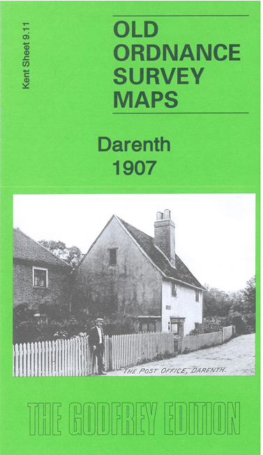
    This detailed map covers the village of Darenth and the sprawling Gore Farm Hospital.

    Features include Gore Farm Hospital, southern part of 'Metropolitan District Imbecile Asylum & Schools', Darenth Grange, St Margaret's church, Lane End, Darenth Mill, Sutton Mill, Hawley Mill, Blackdale Farm etc. We include a 1907 directory of Darenth on the reverse.

    The map links up with sheet 9.07 Dartford East to the north.


  • For other maps in Kent see our Kent page. For other information and prices, go to The Index Page
  • Maps in the Godfrey Edition are taken from the 25 inch to the mile map and reduced to about 15 inches to the mile. For a full list of maps for England, return to the England page
    The Godfrey Edition / sales@alangodfreymaps.co.uk / 26 June 2023