 Here is information about Sheet 46:
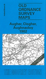
This Inch to the Mile map covers much of southern Tyrone, including the little towns of Clogher, Augher, Aughnacloy and Caledon, together with an expanse of rural north Monaghan. There are also small segments of Counties Fermanagh and Armagh. Coverage stretches from Carryclogher eastward to Tynan, and from Ballygawley southward to Middletown. Features include a substantial stretch of the Clogher Valley Railway, a small stretch of the Great Northern Railway, Tynan Abbey, Slieve Beagh, Favor Royal, Fort Singleton, Caledon House, Glaslough House.
On the reverse we include three detailed town plans, at a scale of 18 inches to the mile. These are for Aughnacloy, including Main Street with houses either side neatly delineated, Corn Market, St James Church, St Mary's RC church, Jackson Institute, station with engine shed; Augher, with creamery, station and Clogher Valley Railway, St Mark's church, flax mill, Augher Castle; and Clogher with St Macartin's Cathedral, Clogher Park House, Fair Green etc.
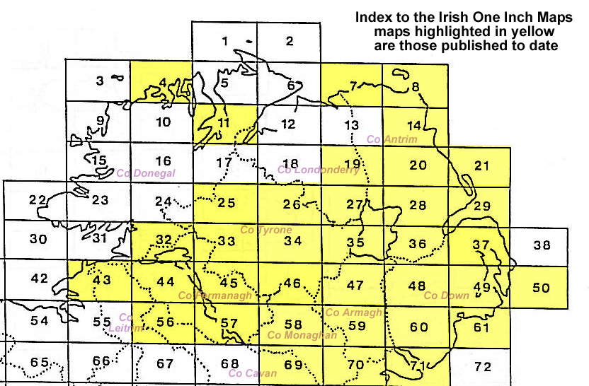
It is not possible to list the many hamlets, farmsteads and other topographical features shown on these maps. However, you may find it useful if we list the towns and principal villages or church parishes that are included on this map. Links are given for those for which detailed large-scale maps are also available.