Old Ordnance Survey Maps of Houghton le Spring


We have published more than 1,900 maps in our series of Old Ordnance Survey Map reprints, including a large group in County Durham, where we are based. The maps are highly detailed. They are taken from the OS 1:2,500 (or 25 inch) maps and reduced to about 15 inches to the mile. Each covers an area of a mile and a half by a mile. They show streets with individual houses, tram tracks, railway tracks and even signals, factories, wharves and such details as fountains and water troughs. They will provide hours of fascination for historians and genealogists. The maps are neatly folded and each includes a specially written introduction to the area. Maps can be purchased on our On-line Mapshop where further information about titles is given. Or visit The Index Page for a full list to the series and details of Prices.


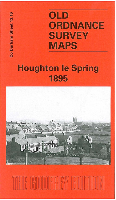
Here are the details of maps for Houghton le Spring:
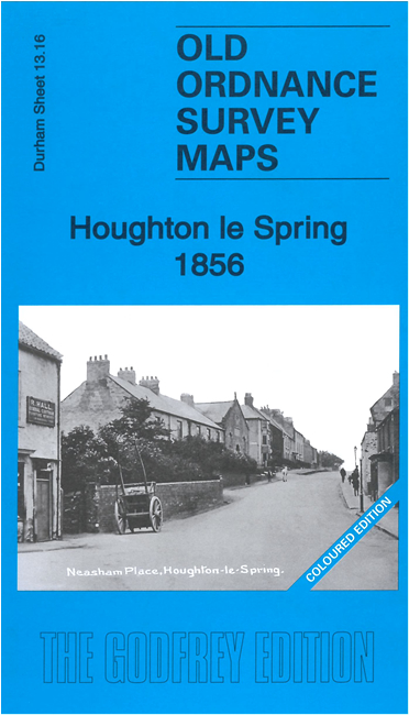
  • Co Durham Sheet 13.16 Houghton le Spring 1895 - published 2001; introduction by John Griffiths

    This very detailed map covers the town of Houghton le Spring, and an area a mile or so north and east. Most of the town centre is shown, including Workhouse, Market Place, New Town, Church Street, St Michael's church, Kepier Grammar School, Newbottle Street, Sunderland Street, cemetery, Houghton Hill, Houghton Pit; beyond this the map is largely rural, but features include the three rows of houses at Sunniside, Over the Hill Farm, and Middle Haining. On the reverse we include a directory of Houghton from Whelan's Directory. Houghton has an ancient history, but it was in the 19th century that it grew, around the pit, the population rising from 996 in 1801 to 7,858 a century later.

    The map links up with Sheet 20.04 Hetton Downs to the south.

    You might find this index map useful.


    Follow this link for a list of our Durham area maps.

    You can order maps direct from our On-line Mapshop. For other information and prices, and other areas, go to The Index Page.


    Maps in the Godfrey Edition are taken from the 25 inch to the mile map and reduced to about 15 inches to the mile. For a full list of maps for the North East, return to the North East page.

    The Godfrey Edition / godfreyedition@btinternet.com / 29 April 2006