.
 We also publish a series of Inch to the Mile maps, which cover the whole of Wales. These are the principal sheets for Flintshire:
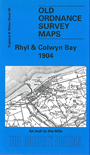
095 Rhyl & Colwyn Bay 1904 - published 2002; intro by Derrick Pratt. Includes a map of Rhuddlan.
096 Liverpool & The Wirral 1904 - published 2003; intro by Derrick Pratt. Covers Holywell and Point of
Ayr area of Flintshire. Includes a map of Wirral Colliery.
108 Deeside & Central Flintshire 1904 - published 2001; intro by Vic Williams. Includes a map of
Great Saughall.
121 Wrexham & Vale of Llangollen 1904
122 Whitchurch, Nantwich & English Maelor 1905 - published 2001; intro by Derrick Pratt. Covers the detached
portion of Flintshire known as Maelor Saesneg. Includes a map of Holt and Farndon.
For a full list and index maps of Inch to the Mile maps follow this link.
 Most maps in the Godfrey Edition are taken from the 25 inch to the mile map and reduced to about 15 inches to the mile.
For a full list of Welsh maps, return to the Wales page
Most maps in the Godfrey Edition are taken from the 25 inch to the mile map and reduced to about 15 inches to the mile.
For a full list of Welsh maps, return to the Wales page
Alan Godfrey Maps, Prospect Business Park, Leadgate, Consett, DH8 7PW. Tel 01207 583388
The Godfrey Edition / sales@alangodfreymaps.co.uk / 26 June 2026
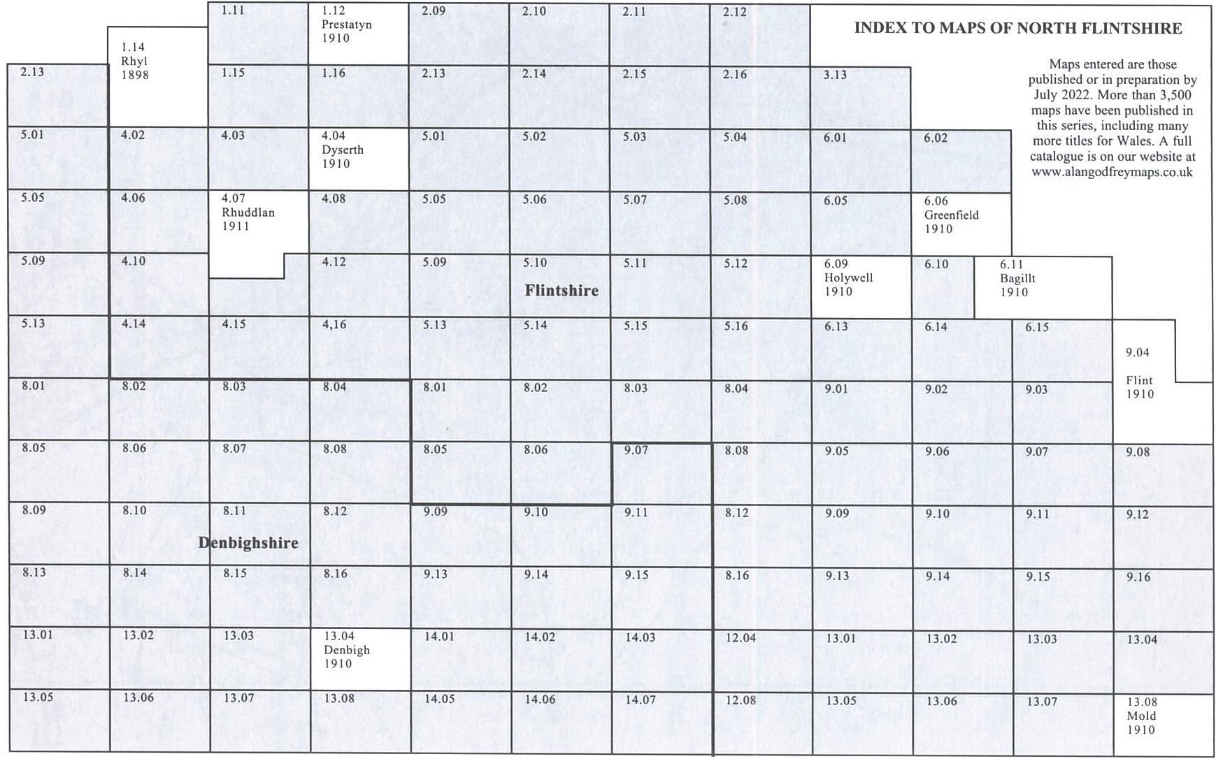
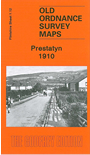 These are the maps we publish for Flintshire: