
 Here are the details of maps for Grays:

These four maps link up with each other, providing excellent coverage of this Essex riverside town, its wharves, railways and quarries.
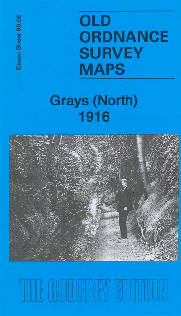
Sheet 95.02 is dominated by the great quarries that stand on the slopes above the town. Features include Grays Chalk Quarries with the various quarries, kilns and railway lines, Thames Works, and many industrial tramways, making this a vivid industrial map. Other features include Belmont Castle, Warren Farm, Stifford Brickworks and a small section of the town.
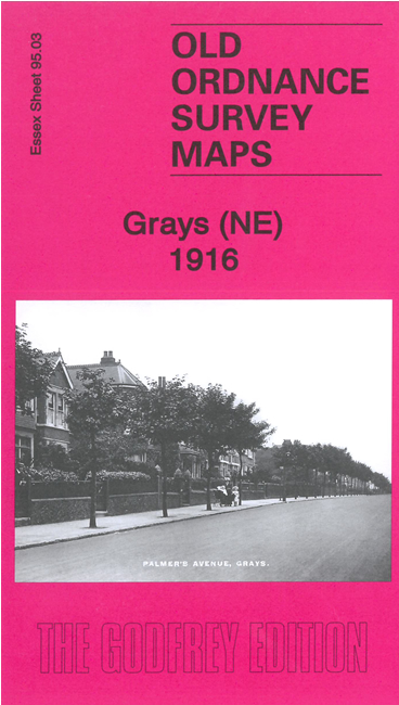
Sheet 95.03 covers the NE of the town, including The Park, and much of Little Thurrock, including Palmer's School and Grays New Cemetery.
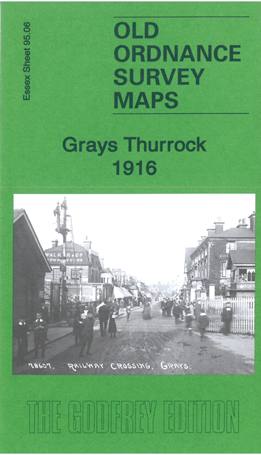
Sheet 95.06 covers the centre of Grays, around the station, and extends westward along the riverside with a wealth of wharves, Thamesside industries and railway lines. Features include Grays town centre, railway with station, St Peter & St Paul's church, Infirmary, Town Wharf, Goldsmith's Wharf, Grays Portland Cement Works, Railway Sleepers Wharf, South Stifford, Lion Works, Gibb's Works, St Clement's church, numerous railway sidings and tramways, etc. Broadness Lighthouse is shown on the Kent shore.
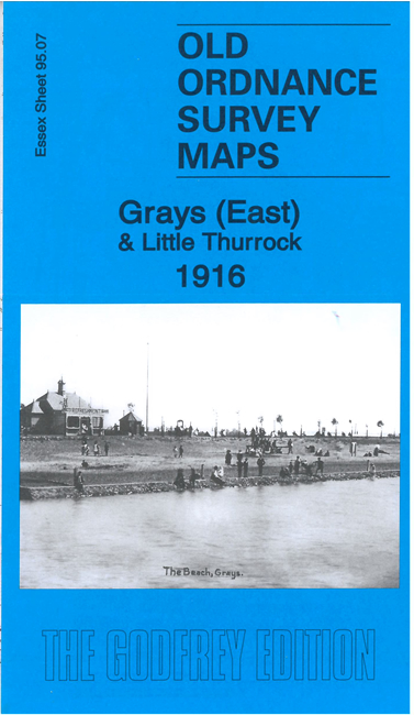
Sheet 95.07 extends coverage to the south east, including The Beach, All Saints church, Thorrock Brewery, Junction Sidings, the northern tip of Tilbury, and part of Little Thurrock including St Mary's church.
Here is an index grid for Thurrock and East London.
Tony Kirby provides a thorough history of the area for each map, with discussion of its industries and riverside activities.
Maps in the Godfrey Edition are taken from the 25 inch to the mile map and reduced to about 15 inches to the mile. For a full list of maps for England, return to the England page.
Alan Godfrey Maps, Prospect Business Park, Leadgate, Consett, Co Durham, DH8 7PW / sales@alangodfreymaps.co.uk / 29 December 2022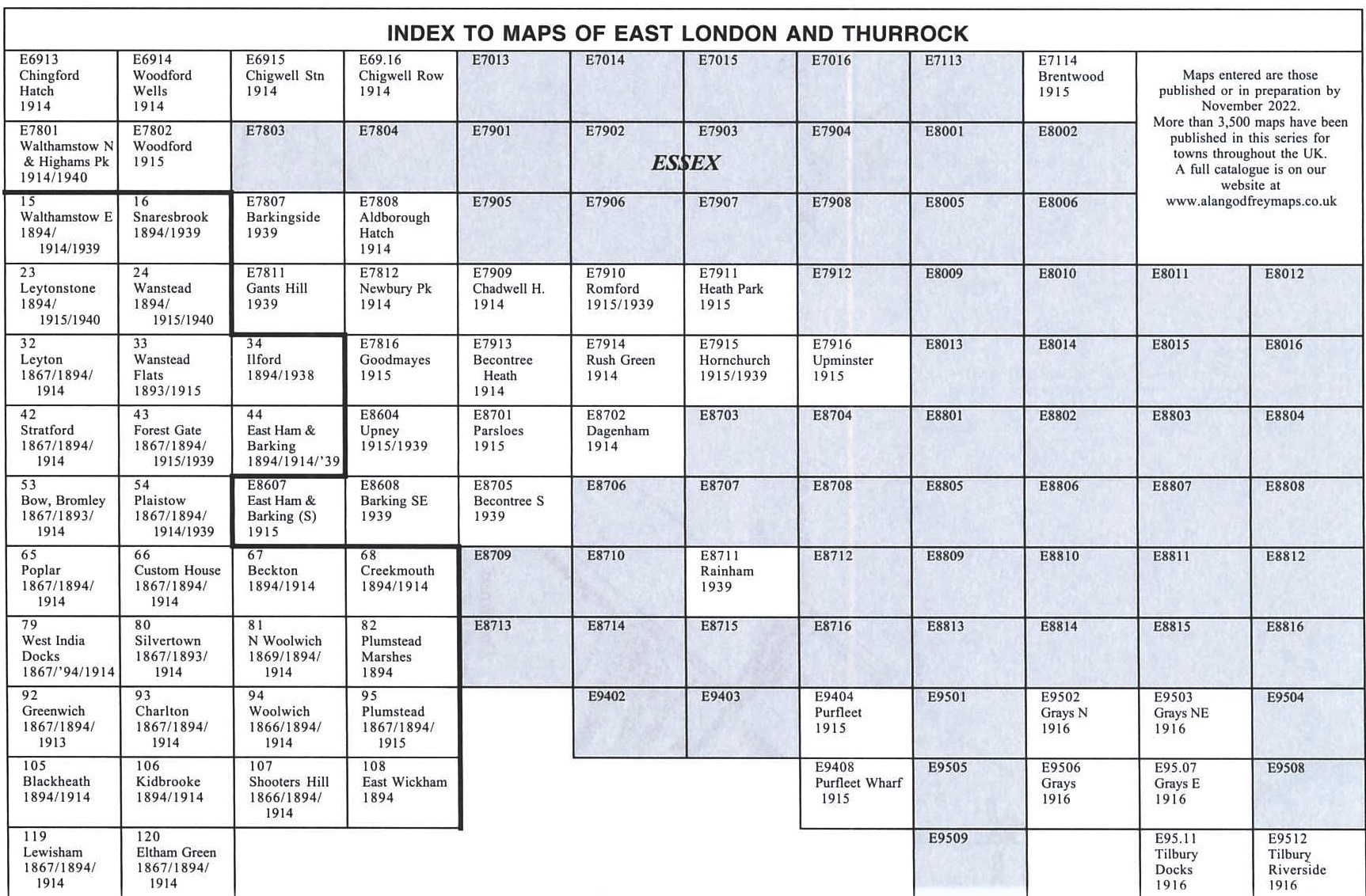