Old Ordnance Survey Maps of Darlington


We have published more than 1,900 maps in our series of Old Ordnance Survey Map reprints, including a large group in County Durham, where we are based. The maps are highly detailed. They are taken from the OS 1:2,500 (or 25 inch) maps and reduced to about 15 inches to the mile. Each covers an area of a mile and a half by a mile. They show streets with individual houses, tram tracks, railway tracks and even signals, factories, wharves and such details as fountains and water troughs. They will provide hours of fascination for historians and genealogists. The maps are neatly folded and each includes a specially written introduction to the area. Maps can be purchased on our On-line Mapshop where further information about titles is given. Or visit The Index Page for a full list to the series and details of Prices.


  • Here are the details of maps for Darlington (South):
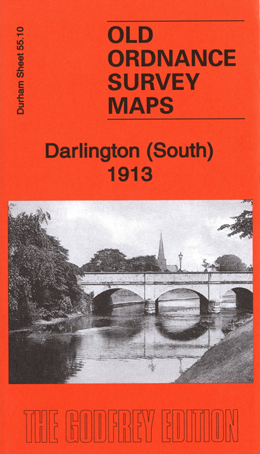
  • Co Durham Sheet 55.10 Darlington (South) 1898 - published 1988; introduction by Alan Suddes

    This very detailed map is one of a group of 4 published for Darlington. It covers the southern part of the town around the main railway station, and includes the railway approaches to the south including Polam Junction, Geneva Junction and part of Croft Junction. Other features include Cleveland Bridge Works, Horticultural Works, Bank Top, Victoria Road, Feethams cricket and football ground, Polam Hill, Skerne House, Eastbourne, Workhouse. Yarm Road runs along the top of the map. Extracts from a street directory are on the reverse.

    The map links up with Sheet 55.06 Darlington to the north and 55.05 Darlington West to the west.

    You might find this index map useful.


    Follow this link for a complete list of our Stockton & Darlington area maps.

    You can order maps direct from our On-line Mapshop. For other information and prices, and other areas, go to The Index Page.


    Maps in the Godfrey Edition are taken from the 25 inch to the mile map and reduced to about 15 inches to the mile. For a full list of maps for the North East, return to the North East page.

    The Godfrey Edition / godfreyedition@btinternet.com / 11 August 2006