
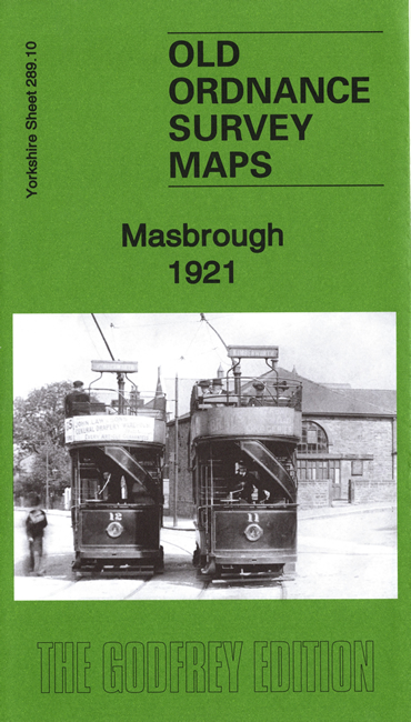
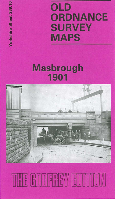
 Here are the details of maps for Masbrough:

We have published two versions of this map, showing how the area changed across the years. The maps cover the Masborough part of Rotherham, with coverage stretching from Richmond Park and Kimberworth eastward to King Street Rotherham, and from Bradgate southward to Holmes Farm.
The many features include (from 1921 version) Midland Railway with Masbrough station, Great Central Railway, Holmes station, Brinsworth Iron & Steel Works, Ickles Corn Mill, Phoenix Spcial Steel Works, Don Steel Works, football ground, St Bede's RC church, Ferham House, St Paul's church, Sheffield & South Yorkshire Navigation New Cut, Holmes Farm, Rotherham Wagon Works, Kimberworth village, St Thomas church, Jordan Cottages, Masbrough Cemetery, Jordan Colliery (disused), Holmes Blast Furnaces, tramways, Henley Grove, Midland Iron Works, Holmes Rolling Mills, Holmes Pottery etc
The map links up with Yorkshire Sheets 289.11 Rotherham to the east, 289.14 Templeborough to the south.