We have very good coverage for Kirklees Metropolitan Borough, which was formed in 1974 from the Dewsbury and Huddersfield County Boroughs, Batley and Spenborough Municipal Boroughs, and Colne Valley, Denby Dale, Heckmondwike, Holmfirth, Kirkburton, Meltham and Mirfield Urban Districts.
The following titles are all taken from the OS 25" maps and reduced to a scale of approximately 14 inches to the mile. Each covers an area of a mile and a half by one mile, and includes an introduction. Click on the links below for further details. All maps are available from our On-line Mapshop.
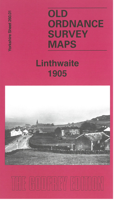 Here are the details of maps for Linthorpe:

This detailed map covers the village of Linthwaite, west of Huddersfield, together with several small hamlets, Hoyle House, Crimble, Lower Clough, Upper Wellhouse, Lower Wellhouse, Crimble Clough, Low Westwood, and Bolster Moor.
Features include LNWR railway with Golcar station, eastern part of Slaithwaite, tramway, Spa Mill, Plat Mill, Brook Mill, spinning mills, River Colne, Huddersfield Canal, chapels, Spring Grove Mills, Hoyle Ing Dye Works, Beaufort Mills, Low Westwood Upper Mills, Christ Church, Guy Edge, Ramsden Mills, Albion Mill Golcar, etc.
On the reverse we include 1889 and 1936 directories of Linthwaite together with a specially written introduction.
The map links up with sheet 259.04 Slaithwaite to the west.