Yorkshire 248.11 Sandal Magna 1890 - published 2021; introduction by Alan Godfrey. ISBN.978-1-78721-409-5 
This detailed map covers the village of Sandal Magna, now part of Wakefield.
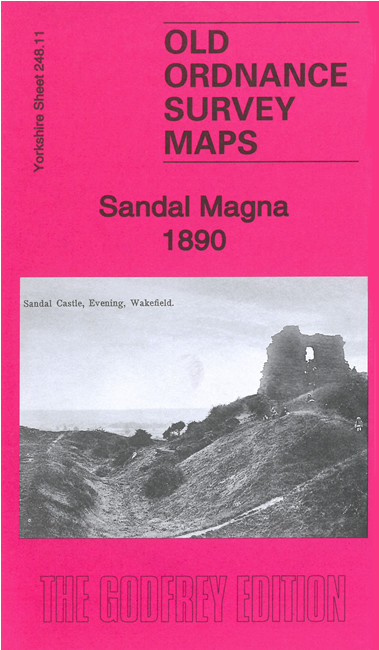
The area is famous as the scene for the Battle of Wakefield. Features on the map include Sandal Castle, Sandal village with individual buildings neatly shown,
St Helen's church, Castle Lodge, Little Sandal, railway with Sandal station, Sandal Grange, Calder Soap Works, Thornes Mill etc
The map links up with Sheets 248.07 Wakefield South to the north and 248.10 Horbury Jct to the west.
You can order maps direct from our On-line Mapshop.
For other information and prices, and other areas, go to The Index Page.
Maps in the Godfrey Edition are taken from the 25 inch to the mile map and reduced to about 15 inches to the mile.
Follow this link for a complete list of our Wakefield maps; or here for the
whole Yorkshire series.
Alan Godfrey Maps, Prospect Business Park, Leadgate, Consett, Co Durham, DH8 7PW /
sales@alangodfreymaps.co.uk / 2 Nov 2021

 Here are the details of maps for Sandal Magna: