Yorkshire Sheet 219.14 Kippax 1905 - published 2020; intro by Alan Godfrey. ISBN.978-1-78721-390-6 
This detailed map is double-sided for maximum coverage. The maps give very good coverage of the villages of Kippax and Great Preston.
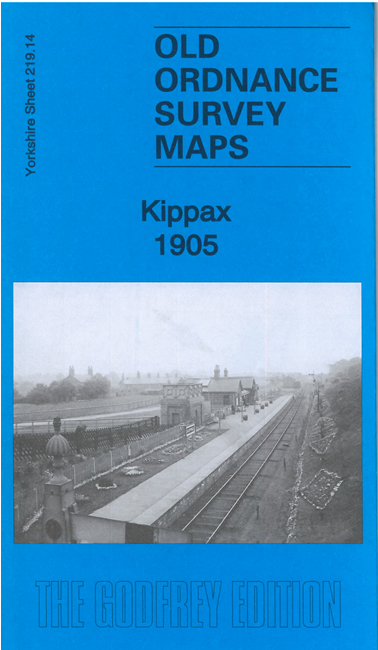
Features include railway with Kippax station, St Mary's church, earthworks, Mount Pleasant, Kippax Mill, Kippax Park,
Owl Wood, Brigshaw, Waddington's Row, St Aidan's church, Great Preston Hall, Allerton Main Collieries - Albert and Victoria Pits, etc
The map links up with sheets 219.13 Swillington to the west and 234.02 Allerton Bywater to the south.
Follow this link for a complete list of our Leeds area maps; or here for the
whole Yorkshire series. For other information and prices, and other areas, go to The Index Page.
Most maps in the Godfrey Edition are taken from the 25 inch to the mile map and reduced to about 15 inches to the mile.
For a full list of maps for England, return to the England page.
Alan Godfrey Maps, Prospect Business Park, Leadgate, Consett, Co Durham, DH8 7PW / sales@alangodfreymaps.co.uk / 30 May 2022

 Here are the details of maps for Kippax: