Yorkshire Sheet 204.15 Aberford & Parlington 1906 - published 2021; intro by Alan Godfrey. ISBN.978-1-78721-416-3 
This detailed map is double-sided for maximum coverage.
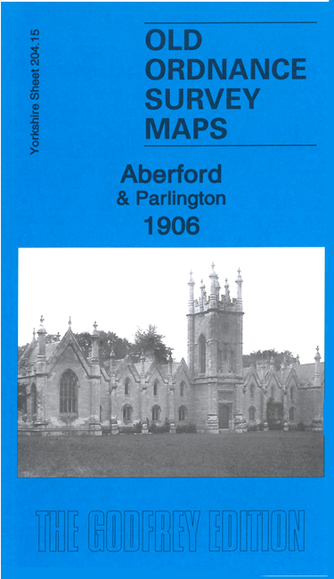
One map covers Parlington, with the hall, Parlington Park, Almshouses, Hookmoor Lodges, Hickham House, Home Farm, and a long stretch of the Aberford Railway.
The map on the reverse covers the centre of Aberford, where features include St Ricarius church, Aberford House, Brunswick House, Green Hill.
Follow this link for a complete list of our Leeds area maps; or here for the
whole Yorkshire series. You can order maps direct from our On-line Mapshop.
For other information and prices, and other areas, go to The Index Page.
Most maps in the Godfrey Edition are taken from the 25 inch to the mile map and reduced to about 15 inches to the mile.
For a full list of maps for England, return to the England page.
Alan Godfrey Maps, Prospect Business Park, Leadgate, Consett, Co Durham, DH8 7PW / sales@alangodfreymaps.co.uk / 26 March 2021

 Here are the details of maps for Aberford: