Old Ordnance Survey Maps of Yorkshire

  • These detailed maps normally cover an area of about one and a half miles by one mile. Each map includes an introduction.
  • They are available through our On-line Mapshop

  • Here are the details of maps for Tadcaster:

  • Yorkshire Sheet 190.09 Tadcaster 1906 - published 2021; intro by Alan Godfrey. ISBN.978-1-78721-470-5

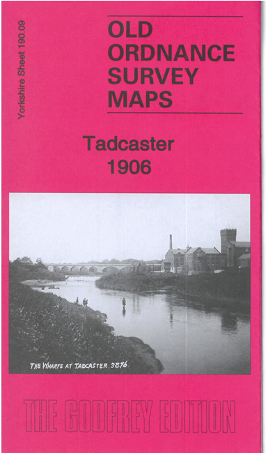
    This detailed map of Tadcaster is double-sided for maximum coverage.

    The main map covers the north of the town, including Tadcaster Bridge, St Mary's church, Corn Mills, Viaduct, Tower Brewery, Fircroft, Commercial Street, Healaugh Manor, River Wharfe, Smaws Farm, Newton Kyme Hall and church (in top left corner).

    The map on the reverse covers the south of the town. Features here include Old Brewery, John Smith's Brewery, High Street, railway station, Tadcaster Union Workhouse, St Josph's RC Chapel, Inholmes, cemetery.


  • You can order maps direct from our On-line Mapshop. For other information and prices, and other areas, go to The Index Page.
  • Maps in the Godfrey Edition are taken from the 25 inch to the mile map and reduced to about 15 inches to the mile. Follow this link for a complete list of our North Yorkshire maps; or here for the whole Yorkshire series.
    Alan Godfrey Maps, Prospect Business Park, Leadgate, Consett, Co Durham, DH8 7PW / sales@alangodfreymaps.co.uk / 27 July 2021