
 Here are the details of maps for Harrogate:


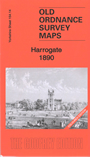
We have published two versiopns of this map, showing how the area changed across the years. The 1890 version is in full colour, taken from the beautiful 1st Edition OS handcoloured map.
There is good coverage of this famous spa town, with coverage stretching from Valley Gardens eastward to Silker Fields and Hurstleigh Terrace; and from Mayfield Terrace southward to Trinity church. Both High Harrogate and Low Harrogate are coverdd. Features include the town centre with railway station, Cheltenham Crescent, Parliament Street, The Stray or Two Hundred Acre, Harlow Manor Hydro (bottom left corner), Grand Hotel, Bogs Field, White Hart Hotel, Royal Baths, Harrogate Hydro, Cairn Hydro, Ladies College, Kursaal, Hotel Majestic, Crescent Gardens, Victoria Avenue, Oatlands, Christ Church, Church Square, South Park. Extracts from early directories are included on the reverse.
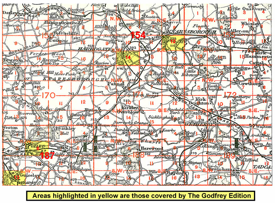
And here is an index map showing the areas covered.