
 Here are the details of maps for Reeth:

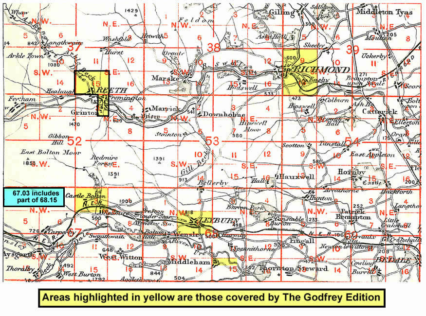
This detailed map covers the tiny town - really a village - of Reeth, the 'capital' of Swaledale. By 1910 the lead-mining industry in Swaledale and Arkengarthdale was all but dead and Reeth was relying on tourism for its living. Yet there were still plans, never brought to fruition, for a railway from Richmond. Our map covers this little town, and on the reverse we extend coverage south to include Fremington, incl Draycot Hall, and Grinton, with its fine church, the 'cathedral of the dale'. The only mine shown here is the Fremington Edge Chert Quarry, but enough of the moors are included to give some of the atmosphere of the place. A directory of Reeth in 1905 is also included.
And here is an index map showing the areas covered.