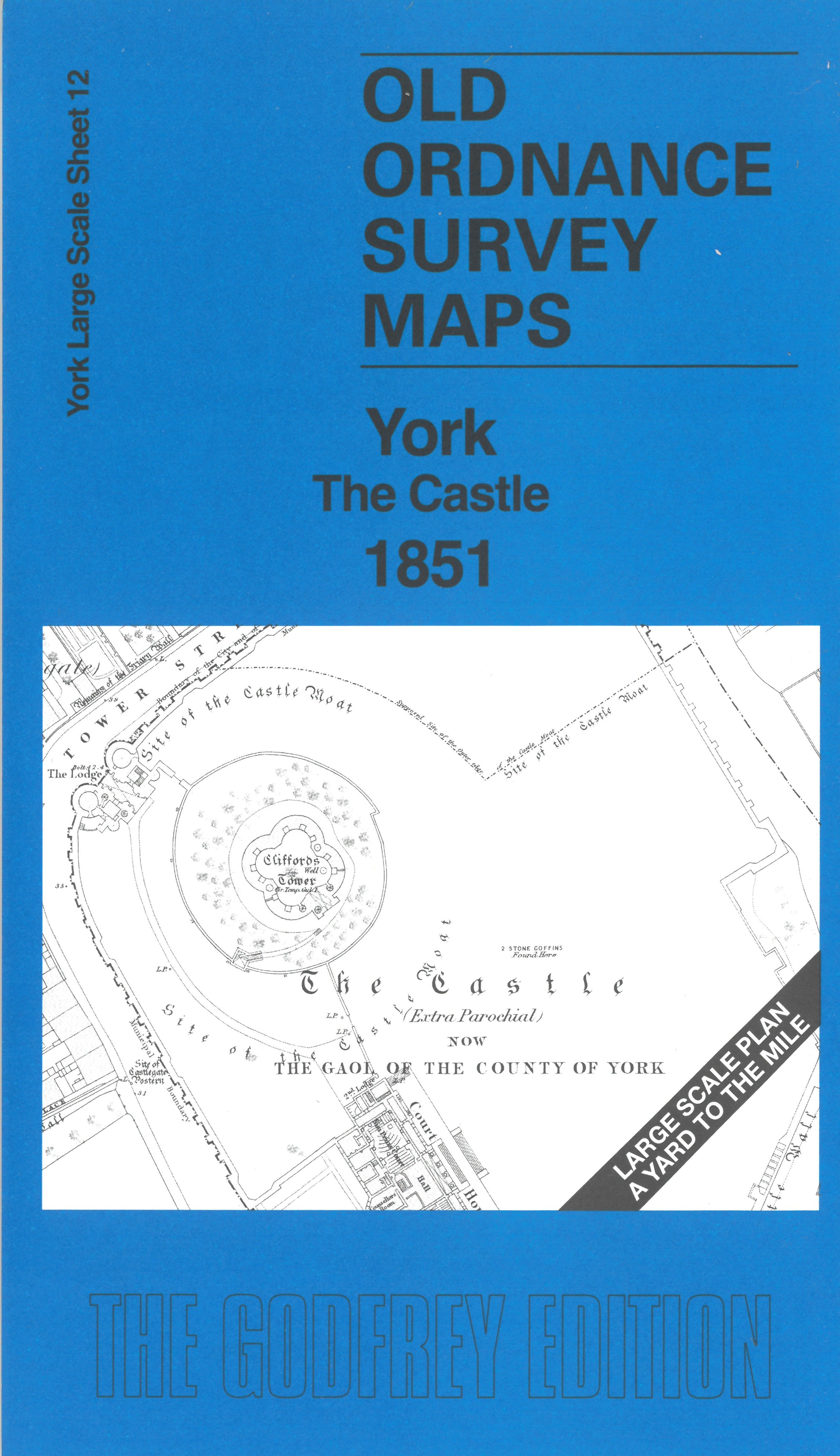
 Here are the details of the large scale plan for the York castle area:

This wonderfully detailed map covers the area around the Castle and The Pavement. It also stretches across the river to Skeldergate and Walmgate.
Features include the Castle, Court House, St Saviour's church, St Crux's church, Merchants Hall, St Dennis church, RC Church, St Margaret's church, St John's church North Street, St Michael's church, Spurriergate, Friends Meeting House, All Saints' church, Guild Hall, etc. The prison is left blank for security but there is a wonderful amount of detail on the map.
On the reverse we include a 1:500 plan covering the Castle and George St area in 1889, together with a 2,000 word introduction to the history of the area.
The map links up with sheet 9 York Minster to the north and 11 York Micklegate to the west.