Old Ordnance Survey maps of High Wycombe history

Old Ordnance Survey Maps of Buckinghamshire

  • These detailed maps normally cover an area of about one and a half miles by one mile. Each map includes an introduction.
  • They are available through our On-line Mapshop

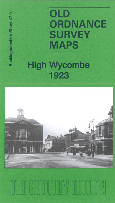
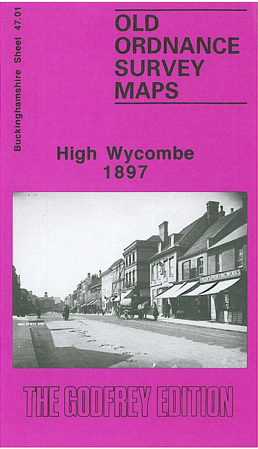
  • Here are the details of maps for High Wycombe:

  • Buckinghamshire 47.01a High Wycombe 1897 - published 1994; intro by Elizabeth Lockwood. ISBN.978-0-85054-699-6
  • Buckinghamshire 47.01b High Wycombe 1923 - published 2022; intro by Barrie Trinder. ISBN.978-1-78721-579-5

    We have published two versions of this map, showing how the area changed across the years.

    The maps cover the centre and west of High Wycombe, here also referred to as Chepping Wycombe. The sheetlines are a little awkward and the town is in the NE quadrant of the map, with coverage running from the station westward to Green Street and Desborough Street. Features include All Saints church, High Street, Town Hall, Wycombe Abbey, Barracks, Oxford Street, Frogmoor Gardens, Newland, Castle Hill, Laura Place. Coverage extends south to Daws Hill, while the SW area of the map is open country around Oakridge Wood.


  • Follow this link for a complete list of our Buckinghamshire maps. For other information and prices, and other areas, go to The Index Page.
  • Most maps in the Godfrey Edition are taken from the 25 inch to the mile map and reduced to about 15 inches to the mile. For a full list of maps for the Buckinghamshire region, return to the Thames & Chilterns page
    The Godfrey Edition / sales@alangodfreymaps.co.uk / 22 August 2022