 Here are the details of maps for North Shields & Chirton:

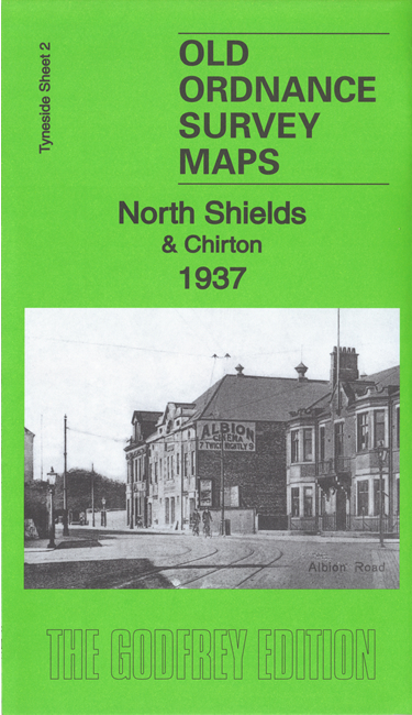
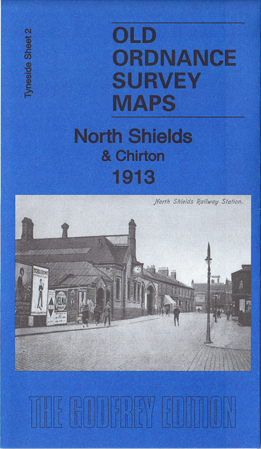
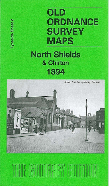
We have published three versions of this map, showing how the area changed across the years. The maps cover the North Shields town centre area, extending westward to include Chirton.
Further information:
This map covers the town centre of North Shields and extends westward to cover Chirton, while the 1937 version includes much of the new Meadow Well housing estate. Historically this map was largely divided between Tynemouth, Chirton and Preston, and North Shields was a narrow but crowded strip of township by the river, but in the 18th and 19th centuries this expanded northward. Little of the riverside frontage is included on this map but there are good expanses of the 'New Town', and other features include the tramway, Preston Colliery, and the Newcastle & North Shields Railway, one of the world's earliest commuter lines. During the 20th century the western half of this map was developed for housing, including the Balkwell estate, and then the Ridges or Meadow Well estate, intended to help clear the notorious slums by the riverside.


 .
.

"Mining had been an important industry but Preston Colliery, which employed 1,254 as recently as 1923, closed in 1929 and was abandoned the following year. It stood on the land shown here as empty W of the Municipal High School. Earlier colliery land had been used for the Appleby Park football ground on Hawkey’s Lane, developed by North Shields Athletic, who moved here in 1900. After the 1st World War the club was reformed as Preston Colliery FC, becoming North Shields AFC in 1928. Two of the club’s finest hours came in 1969 when they won the FA Amateur Cub, followed in 2015 with the FA Vase. The ground, which drew a crowd of 12,800 for a local derby against South Shields in 1936, suffered badly from subsidence, with occasional sudden dips appearing. On 7 February 1948, with Shields at home to Heaton Stannington, the centre forward was swallowed up to his chest in one such hole – but with the home side leading 7-2 the result stood. In 1992 the club ran into financial difficulties and they last played at Appleby Park on 5th December that year, with the ground promptly demolished and replaced by housing. North Shields FC regrouped and now play at Ralph Gardner Park on West Percy Street."
Maps in the Godfrey Edition are taken from the 25 inch to the mile map and reduced to about 15 inches to the mile. For a full list of maps for the North East, return to the North East page.
The Godfrey Edition / sales@alangodfreymaps.co.uk / 26 September 2018