
Old OS Town Plans of Preston


  • This map is taken from the Ordnance Survey's highly detailed Five foot plans. Originally published at a scale of 1:1056 or 5 feet to the mile, we have reduced them in scale to 1:1760 or a Yard to the Mile. The maps, though covering quite a small area, are finely detailed, showing such features as capstans and mooring posts, lamp-posts, the layouts of back yards, and even the interior of certain buildings such as churches. For the urban historian they are perhaps the most fascinating maps ever published by the Ordnance Survey.
  • They are available through our On-line Mapshop

  • Here are the details of maps for Preston NE:

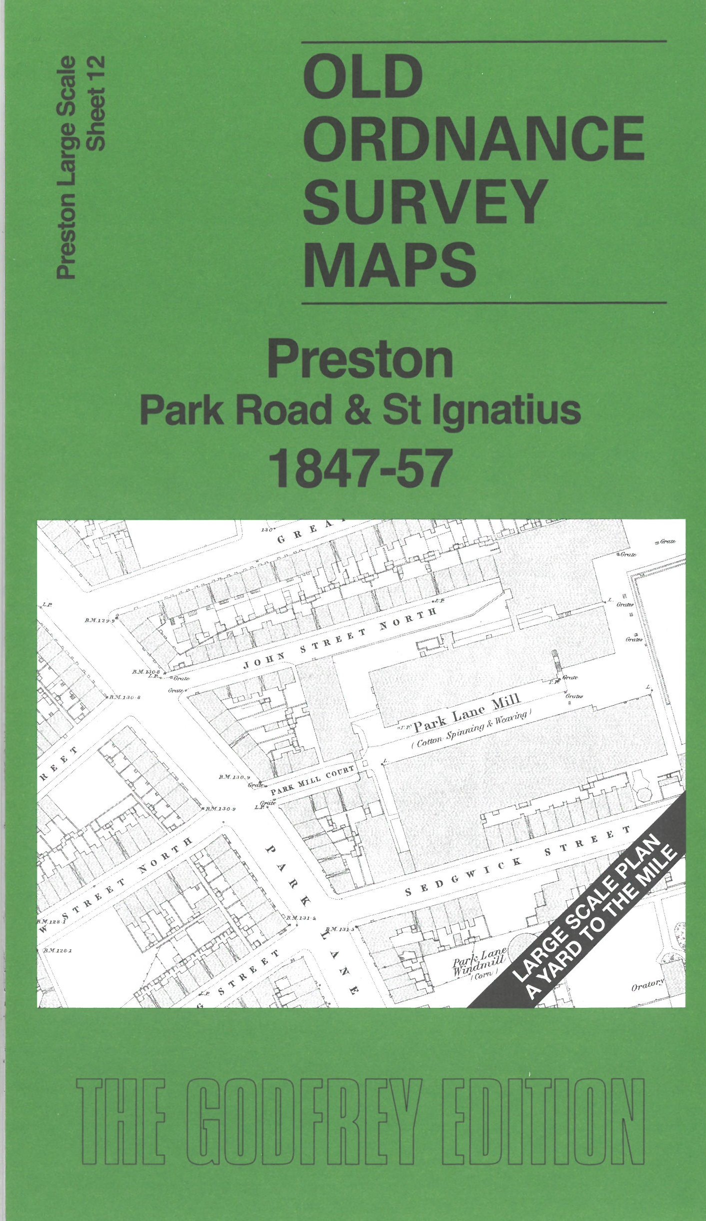
  • Preston 12 Preston: Park Road & St Ignatius 1847-57 - published 2026; intro by Alan Godfrey. ISBN.978-1-78721-989-2

    This map covers a busy area of Preston in great detail. Features include St Ignatius RC Church, St Paul's Church, Wesley Chapel, Park Road area, chapels, Margaret Street Windmill, House of Recovery, Park Lane Mill, Park Lane Windmill, Hanover Street Mill, House of Correction, Court House, Longridge railway terminus, etc.

    On the reverse we include 10 foot to the mile sheet 61.10.12 covering the area around St Ignatius Church in 1892, together with a 2,000 word introduction to the history of the area.

    The map links up with sheet 17 Preston town centre to the south.


  • Follow this link for a complete list of our Preston maps or here for all maps in the North West. For other information and prices, and other areas, go to The Index Page.
  • Maps in the Godfrey Edition are taken from the 25 inch to the mile map and reduced to about 15 inches to the mile. For a full list of maps for Lancashire, return to the North West page.
    The Godfrey Edition / sales@alangodfreymaps.co.uk / 26 August 2026