Old Ordnance Survey Maps of Nottinghamshire

  • These detailed maps normally cover an area of about one and a half miles by one mile. Each map includes an introduction.
  • They are available through our On-line Mapshop

  • Here are the details of maps for Gedling:

  • Notts Sheet 38.16 Gedling & Carlton 1899 - published 2025; intro by Barrie Trinder. ISBN.978-1-78721-872-7

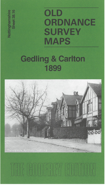
    This very detailed map gives excellent coverage of the village of Gedling, with Carlton in the SW quadrant of the map.

    Features include Gedling village with All Saints church, Chesterfield Arms, Great Northern Railway with Gedling station, Gedling House, Gedling Lodge; Carlton with St Paul's church, Manor House, schools, Blackhill House, etc; Colwick North Junction, and a stretch of the Midland Railway.

    On the reverse we include extracts from a 1902 directory together with a specially written introduction to the history of the area.

    The map links up with sheet 42.04 Colwick & Netherfield to the south.


  • Follow this link for a complete list of our Nottinghamshire Series maps.
  • You can order maps direct from our On-line Mapshop. For other information and prices, and other areas, go to The Index Page.
  • Maps in the Godfrey Edition are taken from the 25 inch to the mile map and reduced to about 15 inches to the mile. For a full list of maps for the East Midlands, return to the East Midlands page.
    The Godfrey Edition / sales@alangodfreymaps.co.uk / 11 July 2025