Old Ordnance Survey Maps of Nottinghamshire

  • These detailed maps normally cover an area of about one and a half miles by one mile. Each map includes an introduction.
  • They are available through our On-line Mapshop

  • Here are the details of maps for Southwell:

  • Notts Sheet 34.03 Southwell 1899 - published 2025; intro by Alan Godfrey. ISBN.978-1-78721-905-2

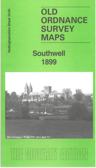
    This detailed maps covers most of the cathedral town of Southwell, with coverage extending from the Minster and its surrounding houses westward to Westhorpe.

    Features include the Minster, Palace ruins, Normanton Prebend House, Hill House, Manor House, Elmfield House, Hightown, Methodist Chapel, Park House, Holy Trinity Church, Baptist Chapel, Norwood House, Norwood Farm, The Hall, St Catherine's Well, etc. Note that it does not include the railway or Union Workhouse. Within the town individual houses are shown, including the various prebendary houses, but not named.


  • Follow this link for a complete list of our Nottinghamshire Series maps. For other information and prices, and other areas, go to The Index Page.
  • Maps in the Godfrey Edition are taken from the 25 inch to the mile map and reduced to about 15 inches to the mile. For a full list of maps for the East Midlands, return to the East Midlands page.
    The Godfrey Edition / sales@alangodfreymaps.co.uk / 4 September 2025