Old Ordnance Survey Maps of Northamptonshire

  • These detailed maps normally cover an area of about one and a half miles by one mile. Each map includes an introduction.
  • They are available through our On-line Mapshop

  • Here are the details of maps for King's Sutton:

  • Northants Sheet 62.06 King's Sutton 1920 - published 2025; intro by Barrie Trinder. ISBN.978-1-78721-917-5

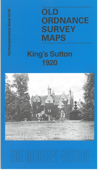
    This detailed map on the Oxfordshire-Northamptonshire border covers the village of King's Sutton and the area to its west.

    Features include King's Sutton village with individual buildings shown, including St Peter & St Paul's church, Manor House, Red Lion Square, GWR railway with station, GWR Banbury & Cheltenham branch, Sydenham Sidings, tramway to ironstone quarry, Oxford Canal, River Cherwell, East End of East Adderbury etc.

    On the reverse we include 1898 and 1920 directories of King's Sutton.


  • Follow this link for a complete list of our Northamptonshire maps. For other information and prices, and other areas, go to The Index Page.
  • Maps in the Godfrey Edition are taken from the 25 inch to the mile map and reduced to about 15 inches to the mile. For a full list of maps for England, return to the England page.
    Alan Godfrey Maps, Prospect Business Park, Leadgate, Consett, Co Durham, DH8 7PW / sales@alangodfreymaps.co.uk / 8 December 2025