Old Ordnance Survey Maps of Northamptonshire

  • These detailed maps normally cover an area of about one and a half miles by one mile. Each map includes an introduction.
  • They are available through our On-line Mapshop

  • Here are the details of maps for Braunston:

  • Northants Sheet 35.12 Braunston 1899 - published 2025; intro by Barrie Trinder. ISBN.978-1-78721-892-5

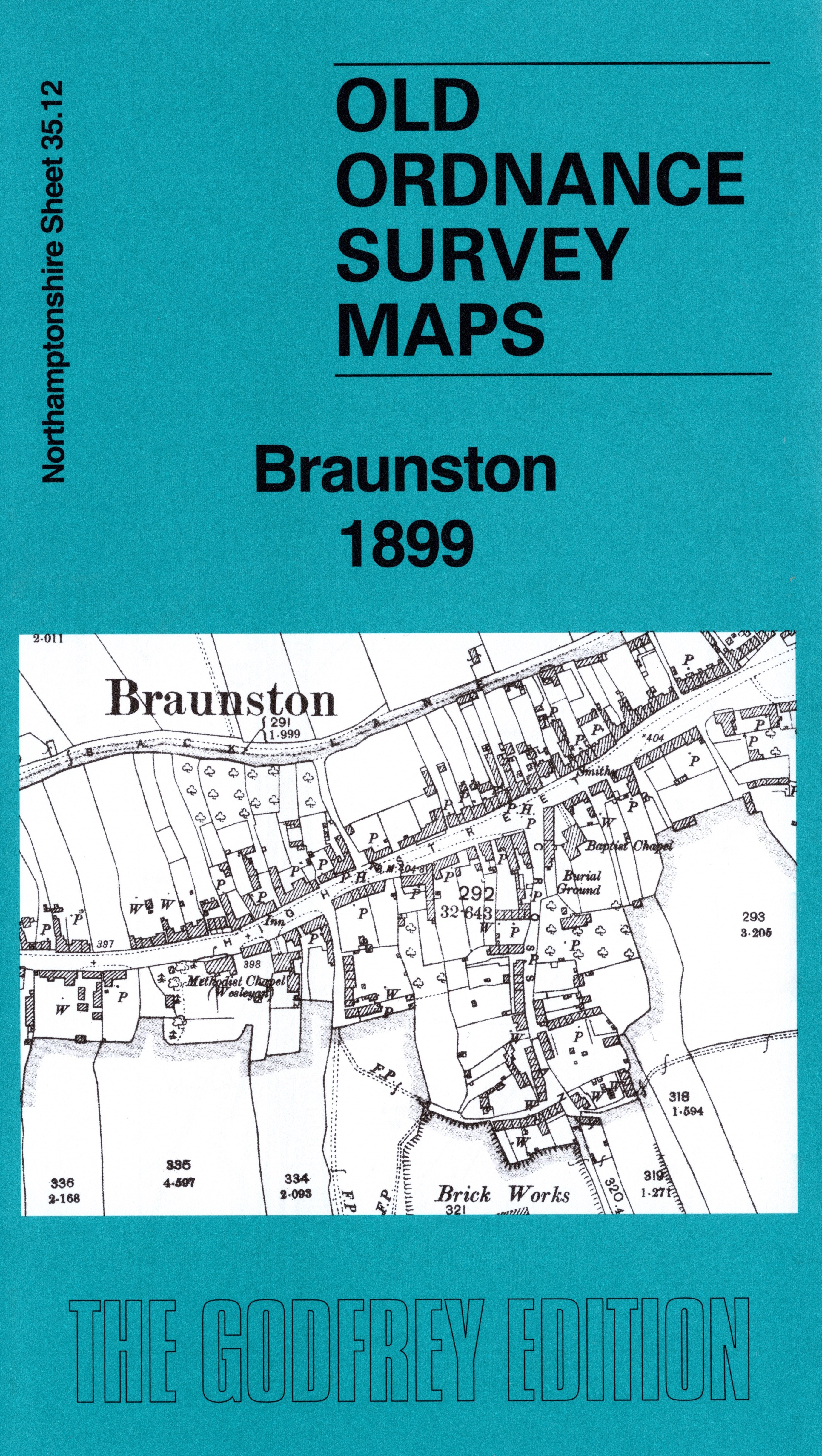
    This detailed map gives excellent coverage of Braunston, the 'village of the waterways'.

    Features include the village centre with individual buildings neatly shown, Braunston House, Manor House, All Saints church, High Street, Grand Junction Canal, Braunston Wharf, Oxford Canal, Little Braunston, LNWR Weedon & Leamington line with Braunston station, GCR railway with part of Willoughby station (at top of map), etc.

    On the reverse we include extracts from 1898 and 1920 direrctories of Braunston together with a specially written introduction.


  • Follow this link for a complete list of our Northamptonshire maps. For other information and prices, and other areas, go to The Index Page.
  • Maps in the Godfrey Edition are taken from the 25 inch to the mile map and reduced to about 15 inches to the mile. For a full list of maps for England, return to the England page.
    Alan Godfrey Maps, Prospect Business Park, Leadgate, Consett, Co Durham, DH8 7PW / sales@alangodfreymaps.co.uk / 18 August 2025