Northants Sheet 24.03 Desborough 1924 - published 2026; intro by Barrie Trinder. ISBN.978-1-78721-911-3
This detailed map of Desborough is double-sided for maximum coverage.
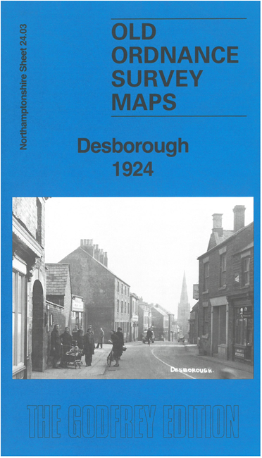
Features include town centre with individual buildings shown, St Giles church, Little Duke Works, LMSR railway with station, Desborough Grange,
ironstone quarry, bacon slicing machine works, gas purifying chemical factory, mineral railways etc.
Follow this link for a complete list of our Northamptonshire maps.
For other information and prices, and other areas, go to The Index Page.
Maps in the Godfrey Edition are taken from the 25 inch to the mile map and reduced to about 15 inches to the mile.
For a full list of maps for England, return to the England page.
Alan Godfrey Maps, Prospect Business Park, Leadgate, Consett, Co Durham, DH8 7PW / sales@alangodfreymaps.co.uk / 2 January 2026

 Here are the details of maps for Desborough: