Old Ordnance Survey Maps of Norfolk

  • These detailed maps normally cover an area of about one and a half miles by one mile. Each map includes an introduction.
  • They are available through our On-line Mapshop

  • Here are the details of maps for Attleborough:

  • Norfolk Sheet 85.11 Attleborough 1904 - published 2023; intro by Tony Kirby. ISBN.978-1-78721-643-3

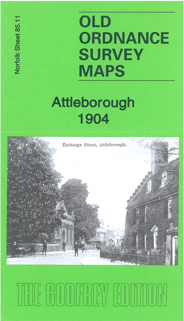
    This detailed map of Attleborough is double-sided for maximum coverage.

    The main map covers most of the town. Features include St Mary's church, Connaught Plain, High Street, Corn Hall, GER railway with station, Cattle Sale Yard, Attleborough Hall, Hill House, Grange Farm, Cherry Row, Queen's Square, Butterfly Hall, Baconsthorpe, Crowshall Farm, etc.

    On the reverse is a section of adjacent sheet 85.15 extending coverage south to include Cyder Works, malthouses, windmill, The Vineyard, New Mills, Kent House, Dairy Farm, Nobbs Corner etc


  • Follow this link for a complete list of our Norfolk or Suffolk map; or for a full list of maps for East Anglia, go to the East Anglia page.
  • Most maps in the Godfrey Edition are taken from the 25 inch to the mile map and reduced to about 15 inches to the mile. For other information and Prices, see Index Page.
    The Godfrey Edition / sales@alangodfreymaps.co.uk / 4 April 2023