Old Ordnance Survey Maps of Norfolk

  • These detailed maps normally cover an area of about one and a half miles by one mile. Each map includes an introduction.
  • They are available through our On-line Mapshop

  • Here are the details of maps for Gt Yarmouth (S):

  • Norfolk Sheet 78.07a Yarmouth (South) & Gorleston (North) 1904 - published 2000; intro by Robert Malster. ISBN.978-1-84151-231-0
  • Norfolk Sheet 78.07b Yarmouth (South) & Gorleston (North) 1926 - published 2023; intro by Tony Kirby. ISBN.978-1-78721-718-8

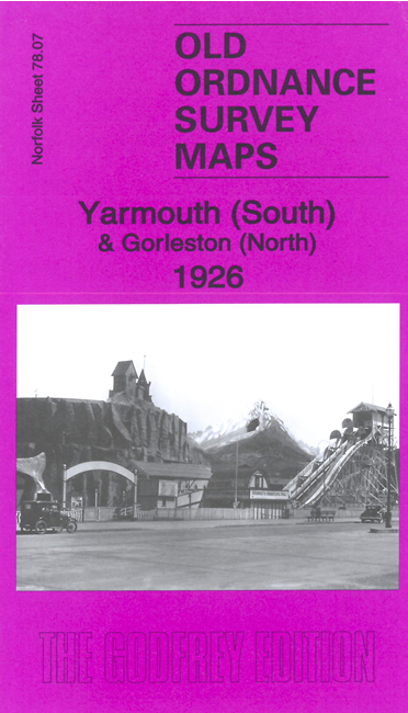
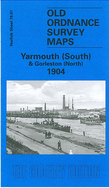
    We have published two versions of this map, showing how the area developed across the years. They form part of a group of maps for Yarmouth and Gorleston. They link up with each other to provide good coverage.

    This map covers the area from the Royal Naval Hospital Yarmouth southward to Priory Street, Gorleston. Features include Royal Artillery Barracks, Southtown Common, tramways, Gorleston North station, malthouses, Race Course, Nelson's Monument, Hairfrey's Farm, Otter's Farm, Bradwell House etc.

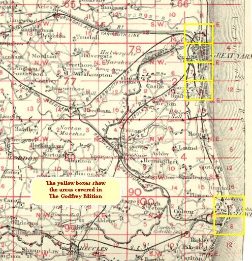
    The map links up with Norfolk Sheet 78.03 Great Yarmouth to the north and 78.11 Gorleston to the south.

    You might find this index map useful.


  • Follow this link for a complete list of our Norfolk or Suffolk map; or for a full list of maps for East Anglia, go to the East Anglia page.
  • Most maps in the Godfrey Edition are taken from the 25 inch to the mile map and reduced to about 15 inches to the mile. You can order maps direct from our On-line Mapshop. For other information and Prices, see Index Page.
    The Godfrey Edition / sales@alangodfreymaps.co.uk / 8 December 2023