Old Ordnance Survey Maps of Norfolk

  • These detailed maps normally cover an area of about one and a half miles by one mile. Each map includes an introduction.
  • They are available through our On-line Mapshop

  • Here are the details of maps for Downham Market:

  • Norfolk Sheet 69.01 Downham Market 1904 - published 2023; intro by Alan Lamb. ISBN.978-1-78721-625-9

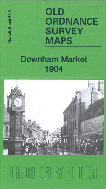
    This detailed map of Downham Market is double-sided for maximum coverage.

    The main map covers most of the town. Features include St Edmund's church, Market Place, Bridge Street, The Towers, GER railway with station, The Green, American Nurseries, The Retreat, St John's Eau, River Ouse, The Hythe, Bridge Farm, Zion Chapel, brewery, etc.

    On the reverse is a section of adjacent sheet 69.05 including Downham Union Workhouse, Crow Hall, Denver Hall, St Mary's church and part of Denver village.


  • Follow this link for a complete list of our Norfolk or Suffolk map; or for a full list of maps for East Anglia, go to the East Anglia page.
  • Most maps in the Godfrey Edition are taken from the 25 inch to the mile map and reduced to about 15 inches to the mile. For other information and Prices, see Index Page.
    The Godfrey Edition / sales@alangodfreymaps.co.uk / 4 April 2023