Norfolk Sheet 65.10 Acle 1905 - published 2023; intro by Tony Kirby. ISBN.978-1-78721-674-7 
This detailed map gives good coverage of Acle, sometimes called 'The Gateway to the Broads'.
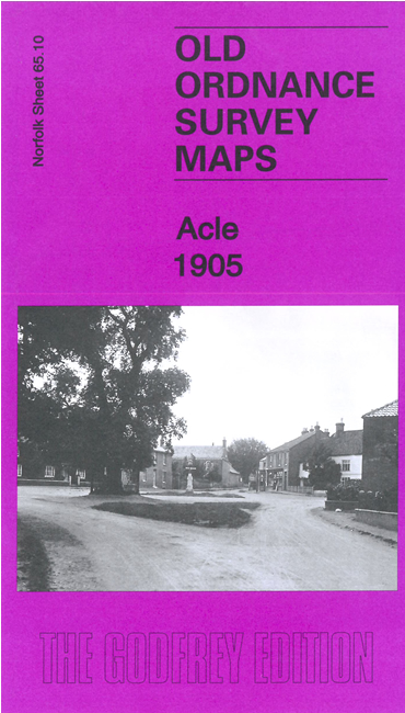
Features include railway with station, St Edmund's church, Damgate, town centre with individual buildings neatly shown, chapels, etc.
On the reverse we include directories of Acle in 1900 and 1929 together with a specially written introduction to its history.
Follow this link for a complete list of our Norfolk or Suffolk map; or
for a full list of maps for East Anglia, go to the East Anglia page.
Most maps in the Godfrey Edition are taken from the 25 inch to the mile map and reduced to about 15 inches to the mile.
For other information and Prices, see Index Page.
The Godfrey Edition / sales@alangodfreymaps.co.uk / 25 August 2023

 Here are the details of maps for Acle: