Old Ordnance Survey Maps of Norfolk

  • These detailed maps normally cover an area of about one and a half miles by one mile. Each map includes an introduction.
  • They are available through our On-line Mapshop

  • Here are the details of maps for Norwich:

  • Norfolk 63.15a Norwich (South) 1905 - published 1999; intro by Robert Malster. ISBN.978-1-84151-095-8
  • Norfolk 63.15b Norwich (South) 1926 - published 2023; intro by Alan Godfrey. ISBN.978-1-78721-692-1

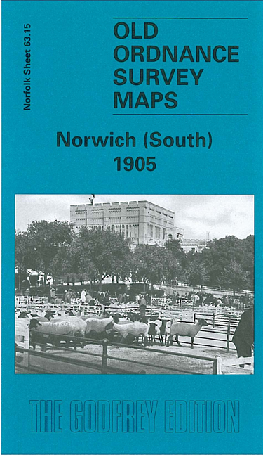
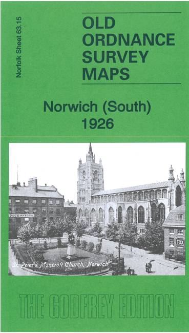
    We have published two versions of this map, showing how the area changed across the years. It covers a major part of the city centre.

    Features include Thorpe station, engine works, Victoria station, Carrow Works, Chapelfield Gardens, Norfolk & Norwich Hospital, tramways, Ber Street, Queens Road, St Peter's church, St Stephen's church, cattle market, New Lakenham, Peafield, Mancroft Ward, King St Old Brewery, Carrow Abbey. On the back we include selections of entries from contemporary directories.

    The map links up with sheets 63.11 Norwich North to the north and 63.16 Thorpe next Norwich to the east.


  • Follow this link for a complete list of our Norfolk or Suffolk map; or for a full list of maps for East Anglia, go to the East Anglia page.
  • Most maps in the Godfrey Edition are taken from the 25 inch to the mile map and reduced to about 15 inches to the mile. You can order maps direct from our On-line Mapshop. For other information and Prices, see Index Page.
    The Godfrey Edition / sales@alangodfreymaps.co.uk / 10 November 2023