Norfolk Sheet 23.05 Sandringham & West Newton 1904 - published 2023; intro by Tony Kirby. ISBN.978-1-78721-6611-7 
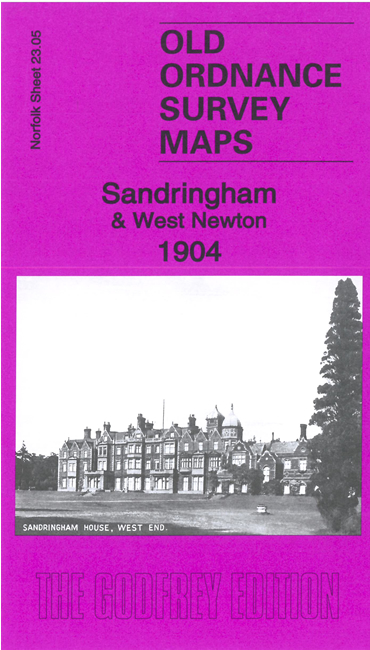
This detailed map of Sandringham covers Sandringham House and Sandringham Park.
Other features include York Cottage, Park House, St Mary Magdalen's church, fish pond, maze, Home Farm, kennels, Deershed Pool, Woodcock Wood,
and the village of West Newton with St Peter & St Paul's church, West Newton House, etc
Follow this link for a complete list of our Norfolk or Suffolk map; or
for a full list of maps for East Anglia, go to the East Anglia page.
Most maps in the Godfrey Edition are taken from the 25 inch to the mile map and reduced to about 15 inches to the mile.
For other information and Prices, see Index Page.
The Godfrey Edition / sales@alangodfreymaps.co.uk / 2 May 2023

 Here are the details of maps for Sandringham: