
 Here are the details of the map for Stratford New Town:

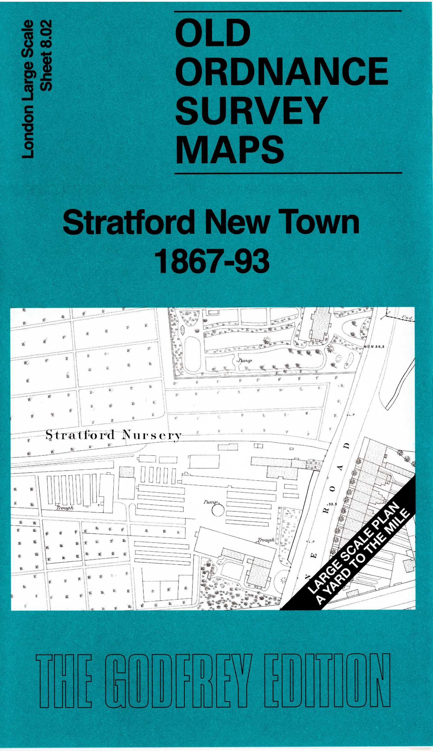
This very detailed map covers the area north of central Stratford. It is double-sided, with the 1867 map on one side and a reduced version of the 1893 map on the area. We also include an introduction to the history of the area. Features include Chobham Farm, Chobham Farm Bridge, railway approaches to Stratford Works, St Paul's Church, the streets (many of them part built) of Stratford New Town, Stratford Brewery, Maryland Point Bridge, schools etc.
The map links up with sheet 8.03 Forest Gate to the east and 8.12 Stratford to the south.