
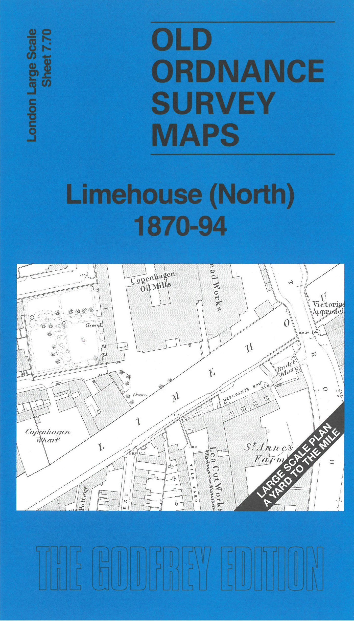
Old Ordnance Survey Town Plans of London

  • These highly detailed maps, at a scale of 1:1760 or a Yard to the Mile, cover parts of central London in exceptional detail. They are available through our On-line Mapshop

  • Here are the details of the map for Limehouse:

  • London Large Scale Sheet 07.70 Limehouse (North) 1870-94 - published 2026. Intro by Pamela Taylor. ISBN.978-1-919015-03-3

    This very detailed map covers the northern part of Limehouse. It is double-sided, with the 1870 map on one side and a reduced version of the 1894 map on the reverse. We also include an introduction to the history of the area.

    Features (from 1870 map) include St Anne's Church, Limehouse Cut, Gold & Silver Refinery, Britannia Bridge, Britannia Yard, Regents Canal, Salmons Lane Bridge, Victoria Park Approach Bridge, etc.

    The map links up with sheet 7.60 Bow Common to the north and 7.80 Limehouse South to the south.
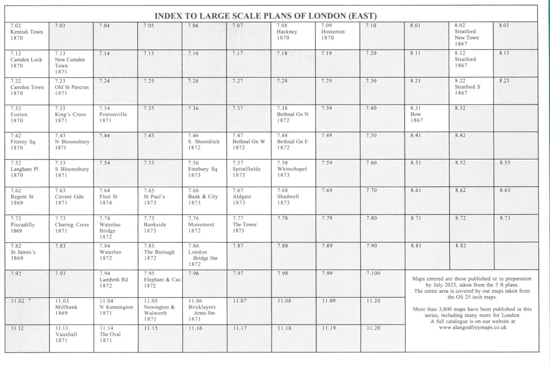

  • For other Town Plans go to the London Town Plans page. Here is an Index Grid
  • For a full list of maps for London and Middlesex, return to the London page.
  • For other information and prices, and other areas, go to The Home Page.
    Alan Godfrey Maps, Prospect Business Park, Leadgate, Consett, DH8 7PW. Tel 01207 583388
    The Godfrey Edition / sales@alangodfreymaps.co.uk / 26 August 2026