
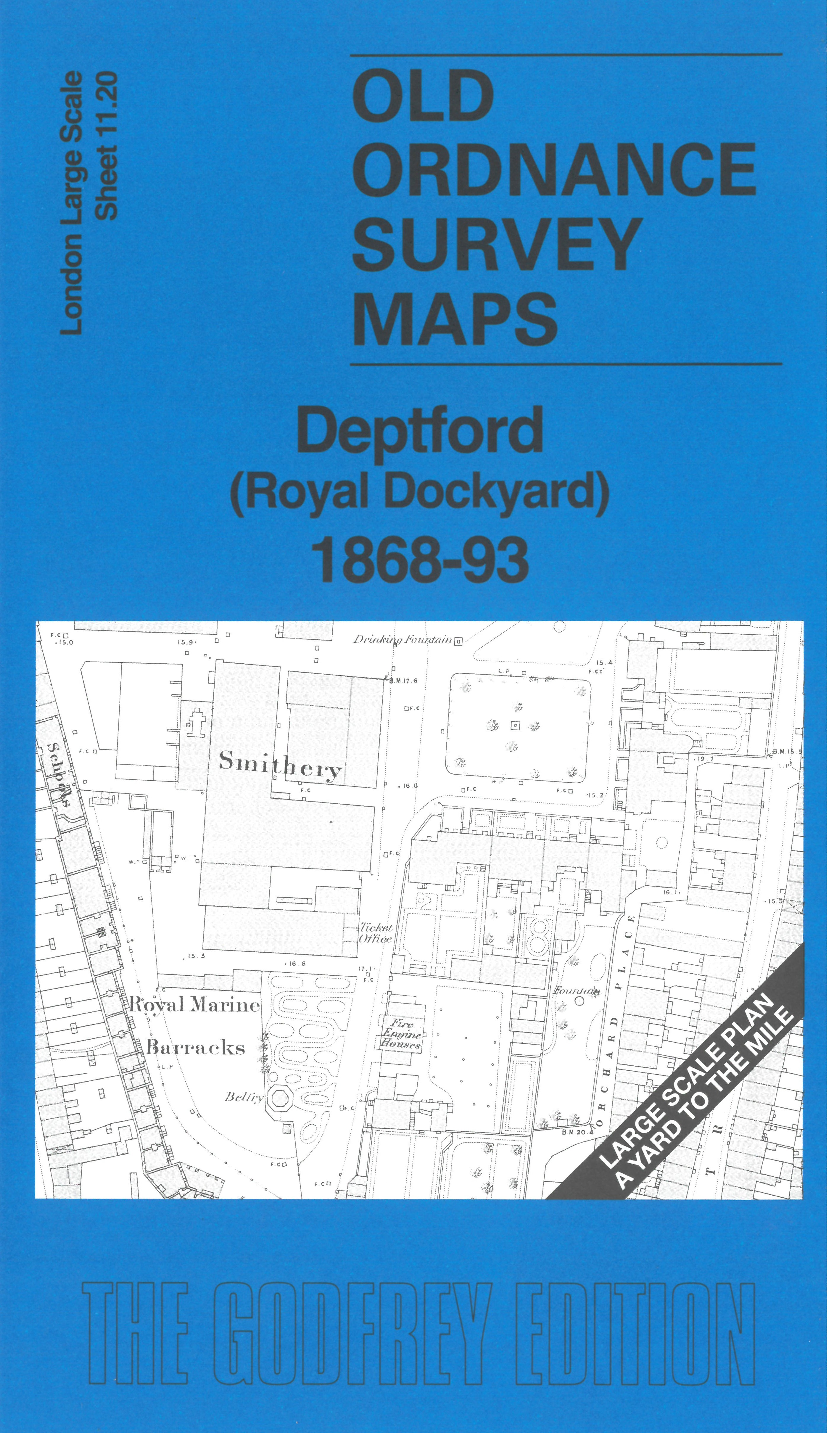
 Here are the details of the map for Deptford Royal Dockyard:

This very detailed map covers the north of Deptford and the Royal Dockyard area. Features include Royal Dockyard with docks, slips, timber sheds etc; Royal Marine Barracks, small stretch of Grand Surrey Canal, Blackhorse Bridge, Victoria Wharf, police station, wharves, St Nicholas church, etc.
On the reverse we include the 1893 map, showing the same area at a later stage. We also include an introduction to the history of the area.
The map links up with sheet 11.10 Deptford NE to the north and 11.30 Deptford High St to the south