Old Ordnance Survey Town Plans of London

  • These highly detailed maps, at a scale of 1:1760 or a Yard to the Mile, cover parts of central London in exceptional detail. They are available through our On-line Mapshop

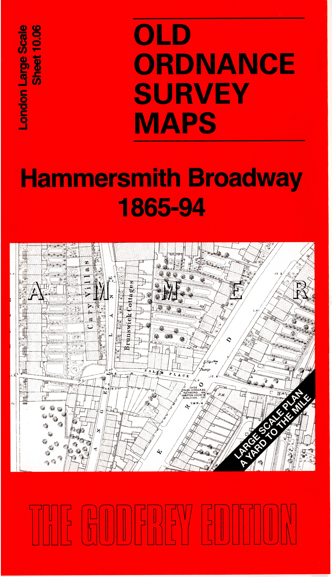
  • Here are the details of the map for Hammersmith:

  • London Large Scale Sheet 10.06 Hammersmith Broadway 1865-94 - published 2025. Intro by Pamela Taylor. ISBN.978-1-78721-890-1

    This detailed map covers the centre of Hammersmith from Broadway southward, including Bridge Road, Hammersmith Bridge, and King Street.

    Other features include St Paul's church, College House, Temple Lodge, Roseneath Villa, R C Convent, Carnforth Lodge, Latymer School, Sussex House, Brandenburgh House, West London Hospital, with individual houses shown, often with leafy gardens. We include the 1894 version on the reverse and this includes Hammersmith station and the District line.

    The map links up with sheet 10.05 Hammersmith West to the west.

  • For other Town Plans go to the London Town Plans page. Here is an Index Grid
  • For a full list of maps for London and Middlesex, return to the London page.
  • For other information and prices, and other areas, go to The Home Page.
    Alan Godfrey Maps, Prospect Business Park, Leadgate, Consett, DH8 7PW. Tel 01207 583388
    The Godfrey Edition / sales@alangodfreymaps.co.uk / 24 July 2025