 Here are the details of maps for Finsbury Park & Harringay:

We have published four versions of this map, showing how the area developed across the years. The maps each cover the same area, the area north of Finsbury Park station (which is just off the foot of the map).
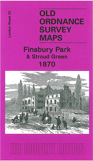
The 1870 map shows an almost rural area, just before the park was created. Coverage runs from Topsfield Hall at Crouch End southward to Fonthill Road, eastward to Manor House. Features include Stroud Green, Hornseywood Tavern, Northumberland House, Mount Pleasant, Crouch Hill station (on Tottenham & Hampstead railway), Manor House pub, numerous named villas and large houses in the Crouch Hill area. The GNR line runs north-south through the centre of the map. The GNR High Barnet branch and Tottenham & Hampstead lines are also shown. On the reverse we include a directory of Crouch Hill in 1890.
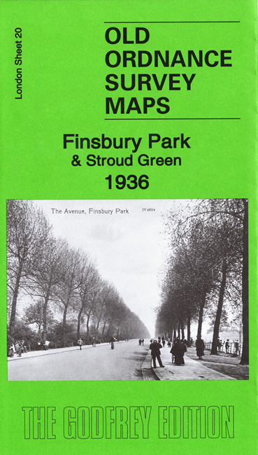
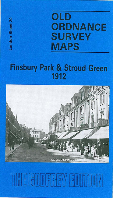
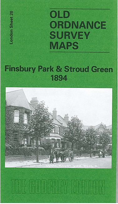
The 1894, 1912 and 1936 maps show the area progressively more built up, especially with the development of Harringay, the opening of more railway stations and the development of Finsbury Park.
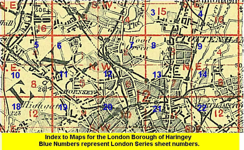
The map links up with London Sheets 12 Hornsey to the north, 19 Highgate to the west, 21 Stamford Hill to the east, 29 Upper Holloway to the south.
 Follow this link for a list of our maps for the London Borough of Haringey, or here for a complete list of our London maps .